What is recorded here
No visible chamber, no carved mark, no named owner. A tall rectangular stone stands in pasture overlooking the Coomhola River valley, aligned north to south. It is the kind of place where human thought stopped being visible but did not stop existing.
In pasture overlooking Coomhola River valley to W. Rectangular stone aligned N-S (H 0.95m; 0.72m x 0.42m).
The above description is derived from the published 'Archaeological Inventory of County Cork. Volume 1: West Cork' (Dublin: Stationery Office, 1992). In certain instances the entries have been revised and updated in the light of recent research.
Date of upload/revision: 14 January 2009
The monument record does not grant public access. Check the route and ask the landowner before entering private land.
- What survives
- Recorded monument
Places near here
 Bulls PocketMountain / peak · 280 yd
 Maughanasilly Stone RowArchaeological place · 1319 yd
 Carriganass CastleCastle · 1325 yd
 Carriganass Bridgebridge · 1350 yd
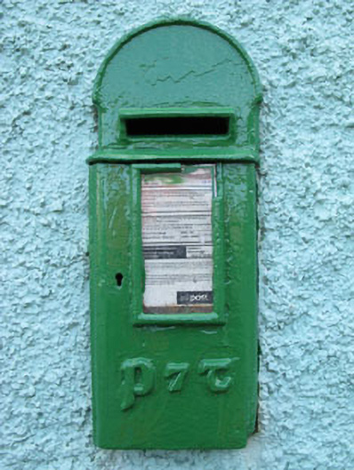 post boxpost box · 1644 yd
 KnockbreteenMountain / peak · 1715 yd
 Fulacht fia in Carriganass (bantry By.)Fulacht fia · 1.0 mi
 Kealkill stone circleVisitor information · 1.4 mi
 Daly's LoopWalking route · 2.7 mi
 Coomhola Salmon Trust (Streamscapes)Museum · 2.8 mi
 St Finbarr's Pilgrim RouteWalking route · 3.1 mi
 Snave StrandBeach / strand · 3.2 mi