What is recorded here
Innishannon’s graveyard holds Huguenot dead beneath mid-18th-century stones, their names preserved while the church at its centre has collapsed into ruin. The high wall built in 1753 still excludes the living from a place where displaced worshippers stopped running and became roots.
On N bank of Bandon river, at E end of Innishannon village. Rectangular graveyard (c. 60m NW-SE; c. 40m NE-SW) enclosed by high stone wall built in 1753 (Cole 1907, 58). Contains numerous inscribed headstones and chest tombs, the earliest dating from mid-18th century; a number of these are Huguenot burials (Alcock 1892-4; St. Leger 1991, 44-7). At centre ruins of C of I church, on or near site of ancient parish church of Innishannon (CO097-05407-).
The above description is derived from the published 'Archaeological Inventory of County Cork. Volume 2: East and South Cork' (Dublin: Stationery Office, 1994). In certain instances the entries have been revised and updated in the light of recent research.
Date of upload/revision: 14 January 2009
The monument record does not grant public access. Check the route and ask the landowner before entering private land.
- What survives
- Recorded monument
Places near here
 Church (in Ruins)Church · 22 yd
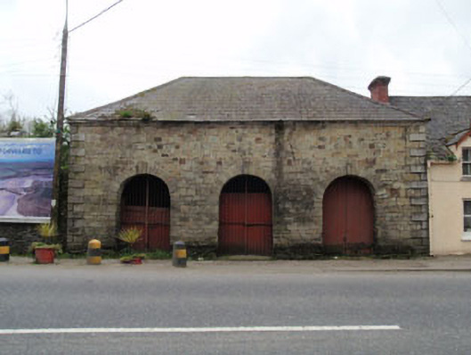 Inishannon Market Housemarket house · 86 yd
 Dromkeen Wood Nature ReserveForest · 671 yd
 Dromkeen WoodWood · 677 yd
 Innishannon WoodsPicnic place · 719 yd
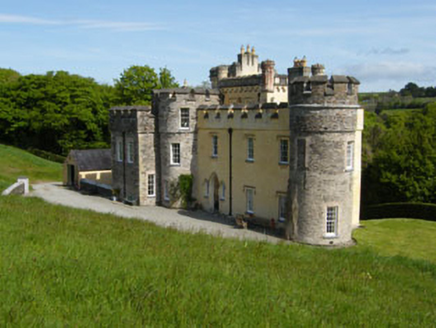 IndicatedEnclosure · 1063 yd
 Kilpadder Burial Gd (Site of)Burial ground · 1208 yd
 Downdaniel Castle (in Ruins)Castle, tower house · 1.0 mi
 Shippool CastleCastle · 1.9 mi
 Marie LouiseWreck · 2.2 mi
 Carbury's WellSpring · 3.1 mi
 Bandon War MemorialMemorial · 3.3 mi