What is recorded here
In low-lying pastureland which is subject to flooding from a turlough c. 50m to the S. This fulacht fia was described by Cody (1989, 162, no. 21) as a well-preserved grass-covered crescentic mound (7m N-S; 6m E-W; H 0.5m), opening towards the W. Natural rock outcrop at S was probably incorporated into it as it expanded with use. A burnt mound (GA096-137----) lies c. 55m to the NW.
Compiled by: Galway Archaeological Survey, UCG
Date of upload: 26 November 2019
The monument record does not grant public access. Check the route and ask the landowner before entering private land.
- What survives
- Recorded monument
Places near here
 Moyard WoodWood · 1031 yd
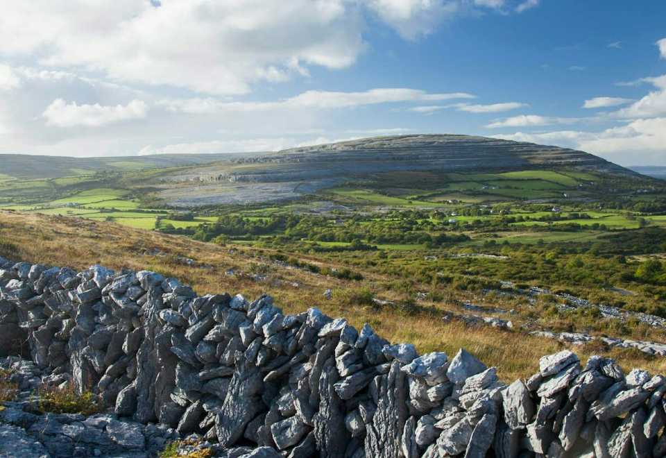 IndicatedEnclosure · 1608 yd
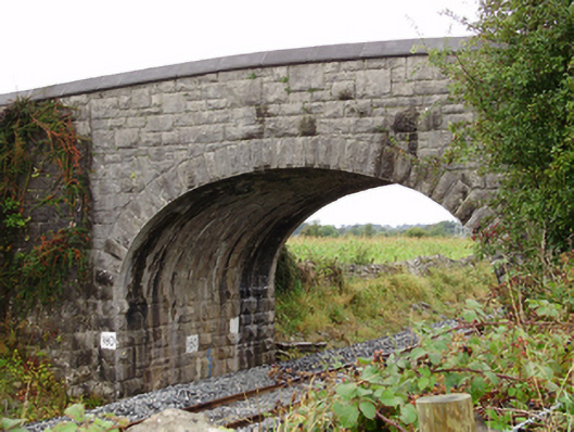 Rockfield Bridgebridge · 1.0 mi
 ToberconnellyHoly well · 1.0 mi
 Moyode CastleCastle · 1.1 mi
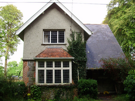 Rockfield Housegate lodge · 1.3 mi
 MoteCastle, motte and bailey · 2.0 mi
 Athenry AbbeyHeritage attraction · 2.4 mi
 Athenry CastleHeritage attraction · 2.5 mi
 Horse-chestnutHorse-chestnut · 2.8 mi
 First Battle of Athenrybattle · 3.3 mi
 Enclosure in BottomEnclosure · 1.1 mi