What is recorded here
On a gentle S-facing slope in pastureland prone to flooding. Poorly preserved pear-shaped enclosure (21.3m E-W; c. 13m N-S) defined by a very low and wide grassed-over bank of earth and stone. (Cody 1989, 296, no. 120)
Compiled by: Galway Archaeological Survey, UCG
Date of upload: 18 July 2019
From the National Monuments Service (Archaeological Survey of Ireland) record GA096-013
The monument record does not grant public access. Check the route and ask the landowner before entering private land.
- What survives
- Recorded monument
Places near here
Photo credits
- National Inventory of Architectural Heritage
- Rryswny, Wikimedia Commons · CC BY-SA 4.0
- Andreas F. Borchert, Wikimedia Commons · CC BY-SA 4.0
- Graham Horn, Geograph · CC BY-SA 2.0
- Ingo Mehling, Wikimedia Commons · CC BY-SA 3.0
- Stephan van Helden, Wikimedia Commons · CC BY-SA 4.0
- Mike Searle, Wikimedia Commons · CC BY-SA 2.0
- Malene Thyssen, Wikimedia Commons · CC BY-SA 3.0
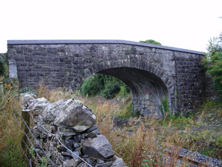 Farranablake BridgeBridge · 1129 yd
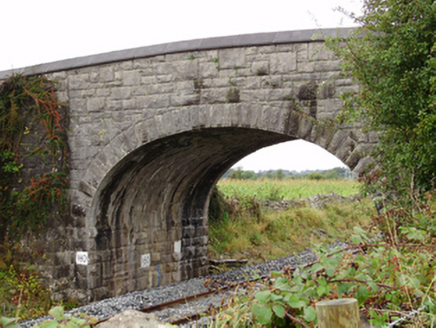 Rockfield BridgeBridge · 1313 yd
 RockmoreHouse · 1447 yd
 IndicatedTown defences · 1.4 mi
 Athenry AbbeyHeritage attraction · 1.4 mi
 Check mapCross, Market cross · 1.4 mi
 Athenry CastleHeritage attraction · 1.5 mi
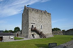 Castle or King Johns Court (in ruins)Castle, Anglo-Norman masonry castle · 1.5 mi
 Horse-chestnut1.7 mi
_-_geograph.org.uk_-_4070861.jpg/250px-Castles_of_Connacht,_Moyode,_Galway_(2)_-_geograph.org.uk_-_4070861.jpg "Photo: Mike Searle, Wikimedia Commons · CC BY-SA 2.0") Moyode CastleCastle · 2.1 miFirst Battle of AthenryBattle · 2.2 mi
Moyode CastleCastle · 2.1 miFirst Battle of AthenryBattle · 2.2 mi European Beech9.2 mi
More archaeology and monuments in County Galway · All of County Galway
What do you know about this place?