What is recorded here
In marshland c. 5m to the S of the Eiscir River but indicated and named ‘Toberconnelly’, in Gothic script, on the 1838 and 1933 editions of the OS 6-inch map. This area was checked out by Cody (1989, 335-6) but it was not found. According to the landowner, the well, which was locally regarded as a holy well, was in fact located to the S of the river. A well is also indicated here on the 1933 edition of the map, suggesting that the well to the N was incorrectly labelled. It was a spring well that was filled in c. 1960 as it was hazardous to livestock. No visible surface trace of it survives.
Compiled by: Galway Archaeological Survey, UCG
Date of upload: 9 May 2023
A local holy well or ritual site; wider significance not recorded.
The monument record does not grant public access. Check the route and ask the landowner before entering private land.
- What survives
- Recorded monument
Places near here
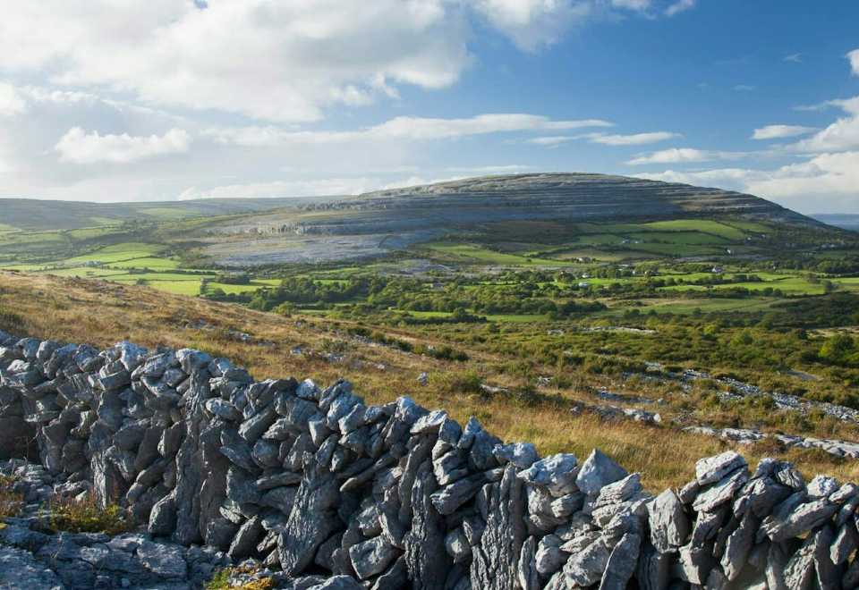 IndicatedEnclosure · 239 yd
 Enclosure in BottomEnclosure · 264 yd
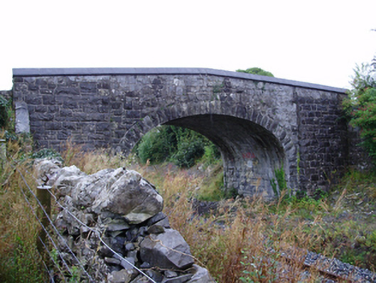 Farranablake Bridgebridge · 950 yd
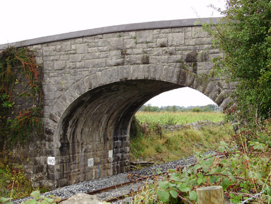 Rockfield Bridgebridge · 1063 yd
 Athenry AbbeyHeritage attraction · 1.4 mi
 Athenry CastleHeritage attraction · 1.5 mi
 Castle or King Johns Court (in ruins)Castle, Anglo-Norman masonry castle · 1.6 mi
 Moyard WoodWood · 1.6 mi
 Horse-chestnutHorse-chestnut · 1.8 mi
 Moyode CastleCastle · 2.2 miFirst Battle of Athenrybattle · 2.3 mi
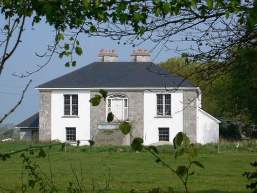 Rockmorehouse · 1266 yd
Other information
Photo: Credit not shown in the picture search · Rights wording not checked; contact us if this picture should be removed