What is recorded here
Fulacht fia in Matt, a cooking pit in low-lying Dublin pastureland, holds charcoal-flecked soil and fire-reddened stone, measuring just 2.4 metres across. It is the kind of place where heat, water and patience turned raw food into sustenance. The gas pipeline works of 1988 pulled that forgotten kitchen back into sight, proving the land still remembers the hands that fed others.
Situated in low-lying pastureland. Investigations for the North-Eastern Gas Pipeline, Phase 2, 1988, revealed a spread of charcoal-flecked soil containing fire-reddened stone (L 2.4m; Wth.2.4m; D 0.5m; Gowen 1989, 23).
Compiled by: Geraldine Stout
Date of upload: 26 August 2011
The monument record does not grant public access. Check the route and ask the landowner before entering private land.
- What survives
- Recorded monument
Places near here
 Enclosure in DermotstownEnclosure · 723 yd
 QuarryQuarry · 751 yd
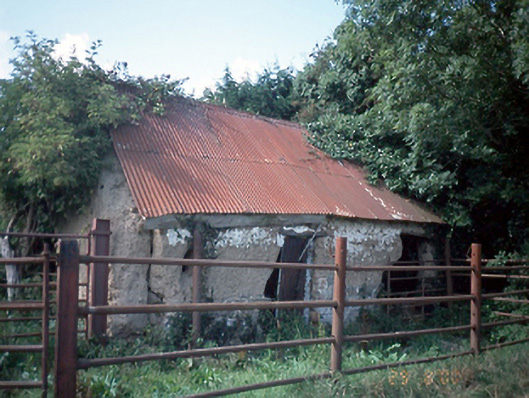 farmyard complexfarmyard complex · 763 yd
 Burnt pit in Newtown (balrothery West By., Ballyboghil Ed)Burnt pit · 1042 yd
 Clonard SpringSpring · 1477 yd
 Castle (remains of)Castle, tower house · 1.2 mi
 Wavin LakesNature reserve · 1.2 mi
 Balrothery TowerCastle · 1.5 mi
 Balrothery Heritage CentreMuseum · 1.5 mi
 Flat cemetery in DarcystownFlat cemetery · 1.8 mi
 Balbriggan Tourist OfficeVisitor information · 2.0 mi
 KnockbrackMountain / peak · 2.1 mi
Other information
Photo: Credit not shown in the picture search · Rights wording not checked; contact us if this picture should be removed