What is recorded here
Situated on a low-lying landscape with a N-S canalised stream immediately to the E. Discovered in centre-line testing for the re-alignment of the R 708 Airport road, and completely excavated (07E0739) (Harte 2010). This is an eroded mound (dims. 15m x 10m; T 0.1-0.4m) of broken and burnt stones that overlay three rectangular troughs. The N trough (dims. 1.5m x 0.9m; D 0.9m) was filled with organic peat, while the S trough (dims. 1.9m x 1.2m; D 0.68m) was steep-sided. The central trough (dims. 2.5m x 0.7m plus; D 0.7m) cut the other two. The mound was cut by a N-S drain at W, and it survives E of the road corridor. Fulacht fia (WA017-138002-) is c. 20m to the S. (Harte, 2010)
Harte, A. (2010) Killure. Fulachta fia. in I. Bennett (Ed.) Excavations 2007: summary accounts of excavations in Ireland, 515, No. 1820. Wordwell. Dublin.
Compiled by: Michael Moore
Date of upload: 27 January 2011
The monument record does not grant public access. Check the route and ask the landowner before entering private land.
- What survives
- Recorded monument
Places near here
 Fulacht fia in KillureFulacht fia · 35 yd
 Fulacht fia in MonamintraFulacht fia · 943 yd
 Kilcaragh Church (in ruins)Church · 1473 yd
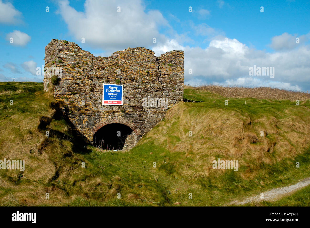 Kiln in CarrigavoeKiln · 1516 yd
 Ballinakill WoodsWood · 2.4 mi
 Sugar Loaf RockMountain / peak · 3.3 mi
 Cullen Castle (in ruins)Castle, tower house · 3.8 mi
 Tramore Dunes WalkWalking route · 4.2 mi
 The Baldy ManViewpoint · 4.3 mi
 Tramore Tourist OfficeVisitor information · 4.4 mi
 Memory of the crew of "Rescue 111"Memorial · 4.5 mi