What is recorded here
Situated on a S-facing slope. Archaeological testing (09E0475) during 2009 on the route of the N5 Ballaghadereen bypass identified a burnt mound (dims c. 12.5m N-S; 10.2m E-W; T 0.7m) (O'Neill 2009, 13). It was fully excavated (10E0300) when it proved to be kidney-shaped (diam. 9-9.5m; max. H 0.55m) overlying a rectangular trough (dims 2.32m E-W; 1m N-S; D c. 0.3m) with 6 stakes at its E end, some timbers in situ on the long sides and a flagged floor. One of the stakes produced a C14 date of 1299-1059 cal. BC, while some of the trough fill produced a C14 date of 1489-1317 cal. BC. (Janes and Delaney 2010; O'Neill 2012)
Compiled by: Michael Moore.
Date of upload: 8 February, 2012
The monument record does not grant public access. Check the route and ask the landowner before entering private land.
- What survives
- Recorded monument
Places near here
 Bockagh HillMountain / peak · 1490 yd
 CaveMan-made underground passage · 1682 yd
 Church in Doogary ((costello By.)Church · 1.1 mi
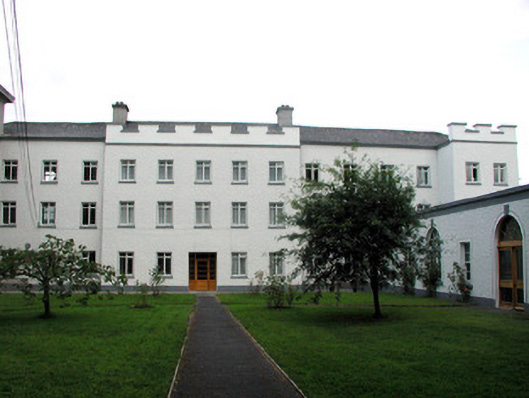 Saint Nathy's Collegebarracks · 1.7 mi
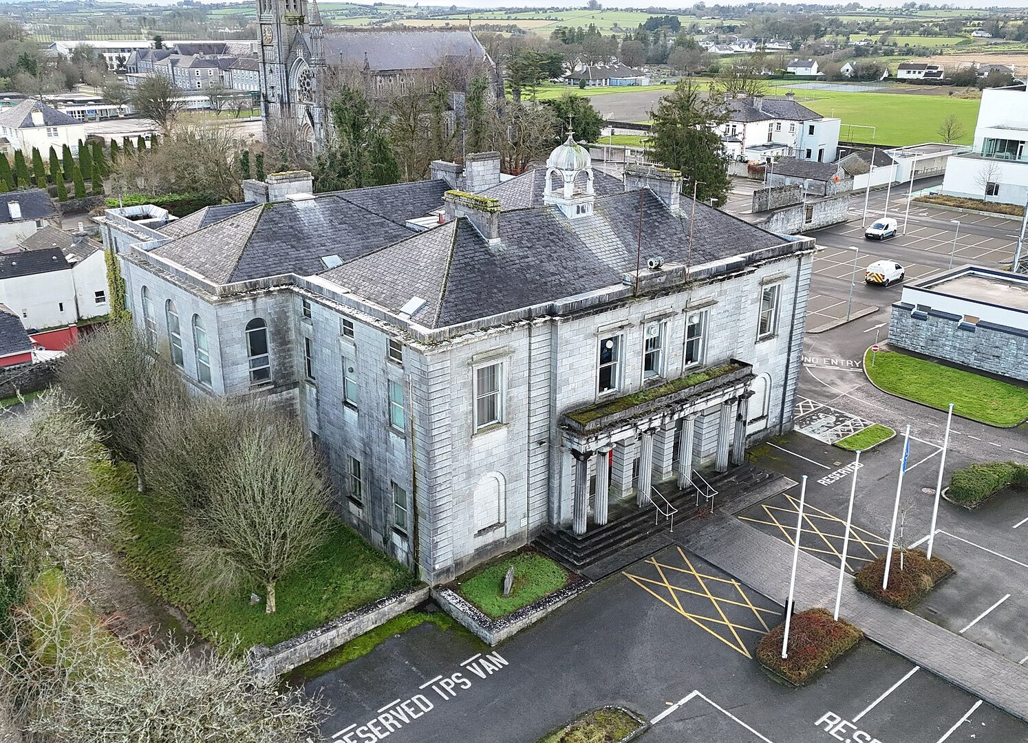 IndicatedFairy fort / stone ringfort · 1.8 mi
 Casatle (ruins)Castle, unclassified · 1.9 mi
 CastleCastle, unclassified · 2.0 mi
 Old Cave Burial GroundArchaeological place · 5.6 mi
 Bawn IslandIslet · 6.6 mi
 Crow IslandIslet · 6.6 mi
 Rose PointHeadland · 6.8 mi
 Castle PointHeadland · 6.8 mi