
What is recorded here
At the centre of cashel (RO008C015001-). Marked on the 1837 and 1915 eds of the OS 6-inch map and described as a 'Cave' on both, it was visible as a single lintel on the surface (Gannon 1972), but this is no longer evident.
Compiled by: Michael Moore
Date of upload: 24 August 2010
The monument record does not grant public access. Check the route and ask the landowner before entering private land.
- What survives
- Recorded monument
Places near here
 Bockagh HillMountain / peak · 1592 yd
 Embanked enclosureFairy fort / stone ringfort · 1.4 mi
 Dermot and Granias BedMegalithic structure · 1.8 mi
 Church in Doogary ((costello By.)Church · 2.0 mi
 Casatle (ruins)Castle, unclassified · 2.3 mi
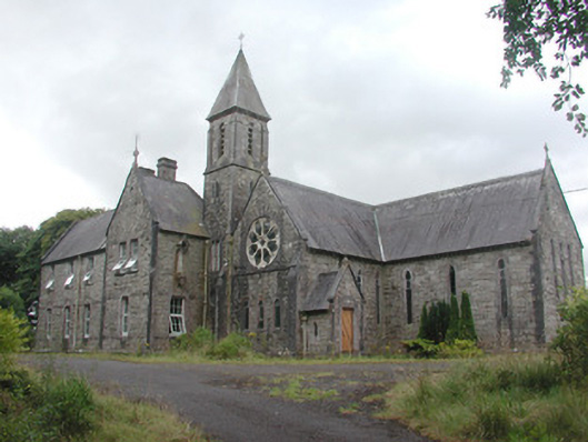 Saint Mary's Conventconvent/nunnery · 2.5 mi
 CastleCastle, unclassified · 2.9 mi
 Old Cave Burial GroundArchaeological place · 4.9 mi
 Crow IslandIslet · 7.4 mi
 Bawn IslandIslet · 7.6 mi
 Castle PointHeadland · 7.6 mi
 Rose PointHeadland · 7.7 mi
Other information
Photo: Credit not shown in the picture search · Rights wording not checked; contact us if this picture should be removed