What is recorded here
Four thousand years ago on the curve where the River Skane bends, people cut a shallow rectangular trough through clay and gravel, lined it with decayed alder wood and grey plastic clay, then piled heat-shattered stones above it until the mound stretched southwest across the level bank. They may have heated water for cooking, cleaning or ritual, drawing from the river that still passes the place where a modern sewer once chopped off its edge. The oak charcoal dates the fire to 2620-2470 cal. BC, old enough that no name remains, only the shape of their labour preserved beneath Ballinter.
Located in a level landscape on the W bank of a canalised section of the River Skane, on the broad curve where the river changes the direction of its flow from SE-NW to N and NE. Archaeological testing (04E1499) by R. Tobin on the line of a sewer-pipe identified three potential archaeological locations in Ballinter. This monument is designated Ballinter 2 but it was accidently truncated at its SW edge and only the wood-lined trough and part of the mound was subsequently excavated (04E1462) by D. Fallon. Three alluvial deposits pre-dated the burnt mound and one yielded 17 fragments of animal bone, two of them heat-scorched. The trough was a rectangular cut (dims 1.4m x 0.75m; D 0.3m) inserted through two of the alluvial layers into the underlying gravel. The primary fill was a grey plastic clay which may have formed a water-proof lining for the four badly decayed pieces of wood set into its upper surface. Two of the wood pieces were identified as alder roundwoods. Above the timber floor was a deposit of charcoal-rich soils with heat-shattered stones that melded into the burnt mound (surviving dims 5.5m NW-SE; 3.5m NE-SW; T 0.14m) that originally extended off to the SW. A sample of oak charcoal from this yielded a C14 date of 2620-2470 cal. BC. (Fallon 2010, 12-14)
Compiled by: Michael Moore
Date of upload; 26 February 2021
The monument record does not grant public access. Check the route and ask the landowner before entering private land.
- What survives
- Recorded monument
Places near here
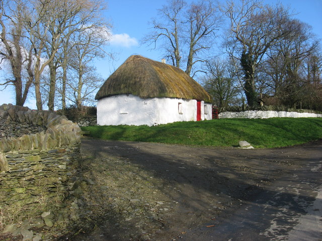 Enclosure in Balgeeth (deece Lower By.)Enclosure · 407 yd
 Enclosure in BallinterEnclosure · 607 yd
 European BeechEuropean Beech · 950 yd
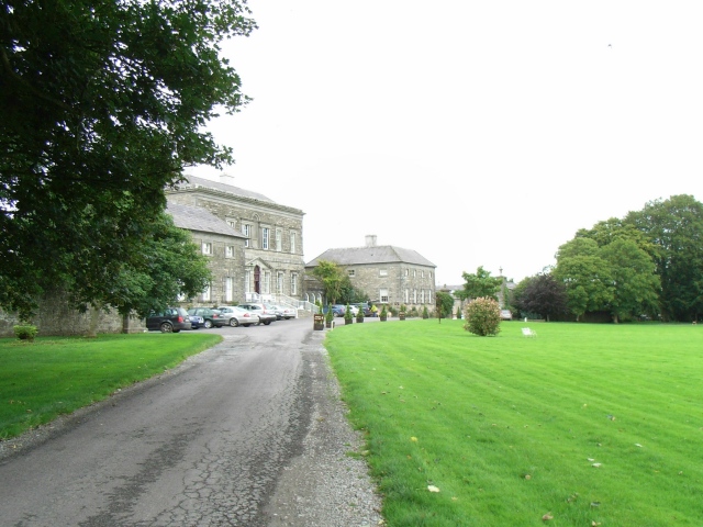 Bellinter Housecountry house · 1048 yd
 Assey CastleCastle, tower house · 1.0 mi
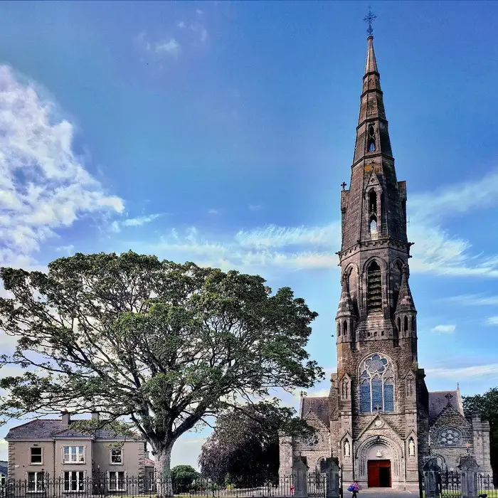 Church (in Ruins)Church · 1.0 mi
 CastleCastle, unclassified · 1.3 mi
 European YewEuropean Yew · 1.7 mi
 Saint Patrick'sMemorial · 2.1 mi
 Hill of TaraVisitor information · 2.1 mi
 Battle of Tara (Ireland)Major battlefield · 2.2 mi
 Battle of Tara Hillbattle · 2.2 mi