What is recorded here
Field system in Fuerty is a field system in Fuerty, County Roscommon, Ireland. Relict rectangular fields about 30m by 50m, bounded by grass-covered stone spreads 1.5-2m wide and 0.25-0.55m high, survive north of a cashel on a gentle west-facing slope. A sunken roadway 4m wide and 0.5m deep runs north for about 200m along their west edge, while a second roadway extended east for about 200m from a point immediately north of the cashel, though only its west end remains. A house site 7.5m by 2.5m, marked by a grass-covered stone spread 1.1m wide and 0.4m high, lies among the surviving fields, which now cover about 3 hectares but once extended east and south to a rath, reaching about 20 hectares as shown in 1970s aerial photographs.
On a gentle W-facing slope. Relict rectangular fields (dims c. 30m x c. 50m) defined by grass-covered stone spreads (Wth 1.5-2m; H 0.25-0.55m) survive N of cashel (RO039-065001-), with a sunken roadway (RO039-065005-) (Wth 4m; D 0.5m) at their W edge, extending N (L c. 200m). A roadway also extended E (L c. 200m) from a point immediately N of cashel (RO039-065001-) (CUCAP BDK 74-5), but only the W end survives. There is a house site (RO039-065004-) (int. dims 7.5m E-W: 2.5m N-S) defined by a grass-covered stone spread (Wth 1.1m; H 0.4m) amongst the surviving fields which cover about 3 ha (c. 7.5 acres), but aerial photographs (CUCAP BDK 72-76) from the 1970s demonstrate that they once covered about 20 ha (c. 50 acres) extending E and S to rath (RO039-065003-).
Compiled by: Michael Moore
Date of upload: 24 August 2010
The monument record does not grant public access. Check the route and ask the landowner before entering private land.
- What survives
- Recorded monument
Places near here
 Diarmad and Grainne's BedArchaeological place · 243 yd
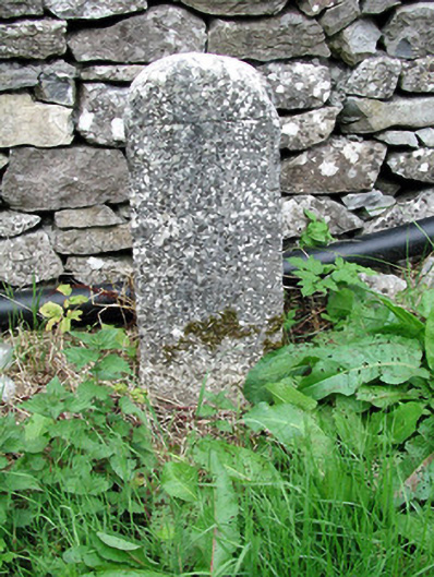 milestone/milepostmilestone/milepost · 467 yd
 Church (in Ruins)Church · 539 yd
 IndicatedFairy fort / earthen ringfort · 1025 yd
 CastleCastle, unclassified · 1.1 mi
 European YewEuropean Yew · 1.1 mi
 European ashEuropean ash · 1.2 mi
 Roscommon CastleCastle · 3.3 mi
 Sally IslandIslet · 3.9 mi
 Castle KellyCastle, tower house · 5.6 mi
 Mount MaryMountain / peak · 6.0 mi
 Site of Killomaine Grave YardArchaeological place · 8.0 mi