
What is recorded here
The fairy fort or earthen ringfort in Fountain is in County Waterford, Ireland. The 28-metre circular area is defined by a 6 to 7-metre earthen bank with external stone-facing, rising from 0.5 metres at the west to 1.6 metres at the east. Slight traces of an outer fosse survive at the northwest, the entrance faces east-southeast, and the top of the north-facing slope is planted with deciduous trees.
Located at the top of a N-facing slope. Circular area (diam. 28m) defined by an earthen bank (Wth 6-7m; int. H 0.5m at W to 1.6m at E) with external stone-facing. Slight traces of an outer fosse survive at NW, and the entrance at ESE. It is planted with deciduous trees.
The above description is derived from the published 'Archaeological Inventory of County Waterford' (Dublin: Stationery Office, 1999). In certain instances the entries have been revised and updated in the light of recent research.
Revised by: Michael Moore
Date of upload: 10 August 2011
The monument record does not grant public access. Check the route and ask the landowner before entering private land.
- What survives
- Recorded monument
Places near here
 Burial GroundGraveyard · 527 yd
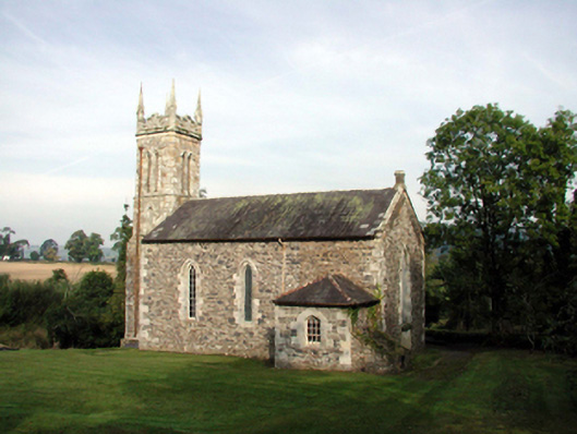 Saint Mary's Church (Kilwatermoy)church/chapel · 589 yd
 farmyard complexfarmyard complex · 835 yd
 Kilnacarriga Castle (in ruins)Castle, unclassified · 1.4 mi
 Tobar a TuraisHoly well · 1.9 mi
 Bishopstown WoodForest · 2.4 mi
 Tallow HillMountain / peak · 4.0 mi
 LismoreMemorial · 4.1 mi
 European YewEuropean Yew · 4.2 mi
 Lismore Castlefarm house · 4.4 mi
 Lisfinny CastleCastle · 4.6 mi
 Cottage IslandIslet · 4.6 mi
Other information
Photo: Credit not shown in the picture search · Rights wording not checked; contact us if this picture should be removed