What is recorded here
Roughly rectangular-shaped graveyard (dims. 74m NW-SE x 43m N-S) defined by a boundary wall of post-medieval date with the remains of a medieval church (WM008-097002-) standing in the N quadrant. The graveyard contains inscribed memorials dating from the 18th century onwards. The ruins of a T-plan R. C. church (WM008-097007-) of possible late 17th century date can be seen in the W quadrant of the graveyard. The wayside cross (WM008-097001-) now standing in the triangular-shaped green was originally located inside this graveyard. A number of dressed and cut stones from the church (WM008-097002-) including a chamfered window mullion and a finial stone of 15th/16th century date have been reused as headstones in the graveyard while other cut stone has been built into the enclosing graveyard boundary wall which is post-1700 in date (Bradley et. al. 1985, 83). A limestone piscina (dims. H 0.24m; Wth 0.5m) of 17th/18th century date has been built into the S wall of the graveyard (ibid.)
Compiled by: Caimin O'Brien
Date of upload: 20 November 2013
The monument record does not grant public access. Check the route and ask the landowner before entering private land.
- What survives
- Recorded monument
Places near here
 Wall monument in ForeWall monument · 20 yd
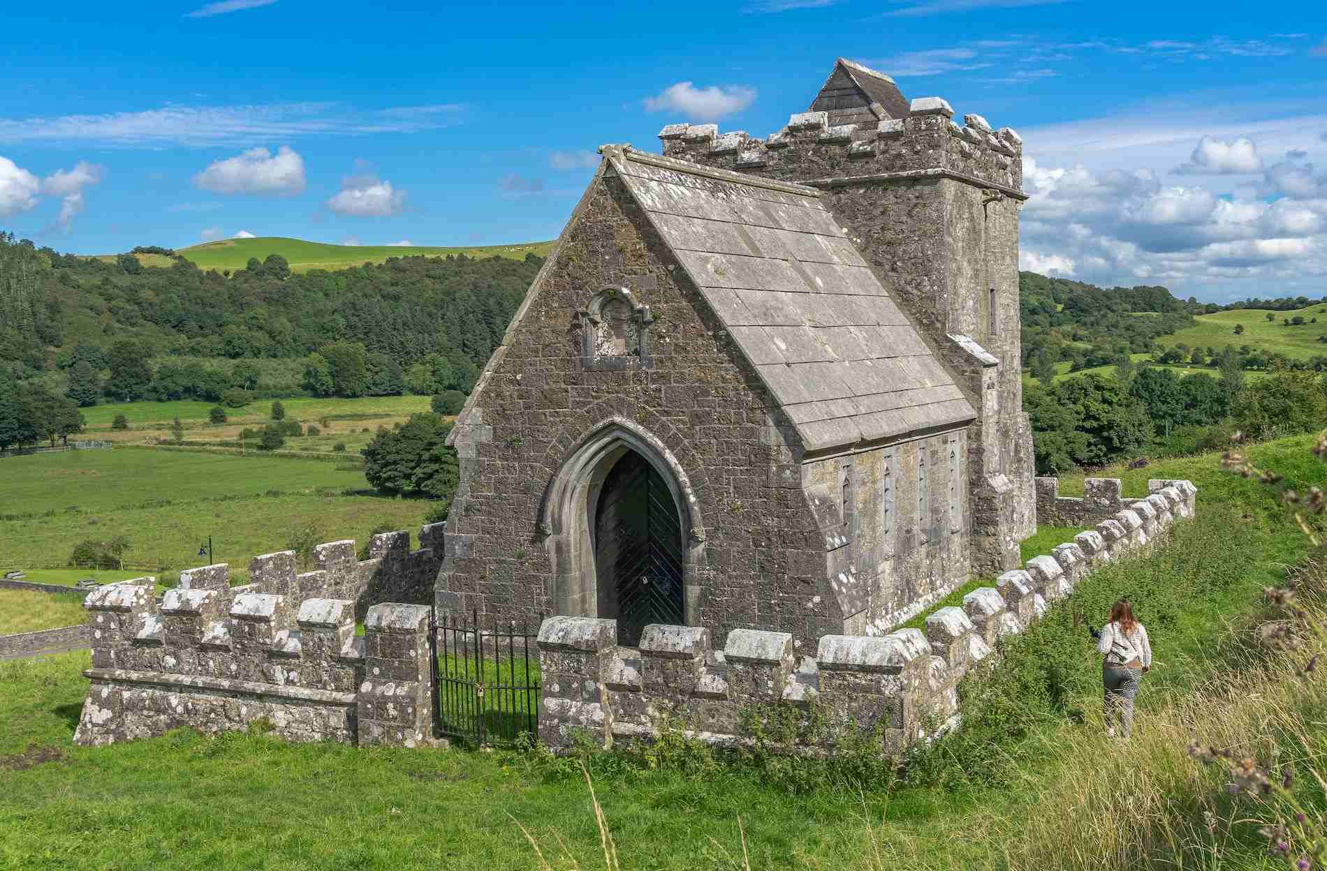 R.C. ChapelChurch · 34 yd
 South East GateHeritage attraction · 69 yd
 CrossCross, Market cross · 94 yd
 Christians Castle in ruinsCastle, unclassified · 158 yd
 Man-made underground passage in ForeMan-made underground passage · 241 yd
 St Feichin's MillHeritage attraction · 331 yd
 European ashEuropean ash · 395 yd
 MoatCastle, motte and bailey · 490 yd
 Ben of ForeMountain / peak · 1018 yd
 Castle IslandIslet · 1.5 mi
 Seafin HillMountain / peak · 2.5 mi