What is recorded here
Listed by Crawford as Cross No. 16 (Crawford 1928, 62). Depicted as ‘Cross’ on the 1910 ed. OS 25-inch map where it is shown standing in a triangular green in the village of Fore, Co. Westmeath. The cross is not shown at this location on earlier editions of the OS 6-inch maps and was originally located in the graveyard (WM008-097014-) of St. Mary’s Church (WM008-097002-) located 70m to the SE (ibid.). See WM008-097001- entry for full description of Wayside Cross at its current location.
Compiled by: Caimin O'Brien
Date of upload: 21 November 2013
The monument record does not grant public access. Check the route and ask the landowner before entering private land.
- What survives
- Recorded monument
Places near here
 Wall monument in ForeWall monument · 20 yd
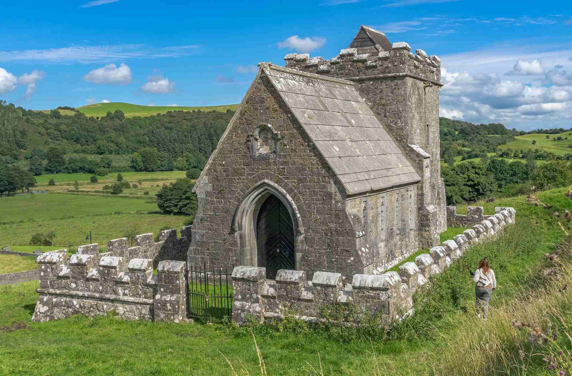 R.C. ChapelChurch · 34 yd
 South East GateHeritage attraction · 69 yd
 CrossCross, Market cross · 94 yd
 Christians Castle in ruinsCastle, unclassified · 158 yd
 Man-made underground passage in ForeMan-made underground passage · 241 yd
 St Feichin's MillHeritage attraction · 331 yd
 European ashEuropean ash · 395 yd
 MoatCastle, motte and bailey · 490 yd
 Ben of ForeMountain / peak · 1018 yd
 Castle IslandIslet · 1.5 mi
 Seafin HillMountain / peak · 2.5 mi