
What is recorded here
An octagonal marble font, 1.16 metres high and carved with a quartered coat-of-arms, still stands inside the 1895 Church of Ireland building at Carrickart. It survived the loss of the first church erected there in 1674 or 1675, carrying the 1681 date and the promise EX: DONO R:A across a century of change. Water may have touched that stone during hundreds of baptisms, while the people who poured it are no longer named. The font remains as a visible bridge between the lost church and the present room.
In the Church of Ireland Church at Carrickart, built in 1895 (Rowan 1979, 168) is a 17th century marble font (DG017-021001-), 1.16m high. The upper section of the octagonal shaft is squared to a flat surface on which is carved, in false relief, the inscription: EX: DONO R:A 1681. There is a quartered coat-of-arms below. The square base has four raised bosses on the corners of its octagonally-chamfered upper surface. The sixteen sided bowl has a tapering base. According to Lucas the first church (DG017-021) at Carrickart was built in 1674 or 1675 and this has since been removed and its site is used as part of the graveyard (DG017-021002-) (Donegal Archaeological Survey field notes)
The above description was derived from the 'Archaeological Survey of County Donegal. A description of the field antiquities of the County from the Mesolithic Period to the 17th century.' Compiled by: Brian Lacey with Eamon Cody, Claire Cotter, Judy Cuppage, Noel Dunne, Vincent Hurley, Celie O'Rahilly, Paul Walsh and Seán Ó Nualláin (Lifford: Donegal County Council, 1983). In certain instances the entries have been revised and updated.
Date of upload: 22 September 2008
The monument record does not grant public access. Check the route and ask the landowner before entering private land.
- What survives
- Recorded monument
Places near here
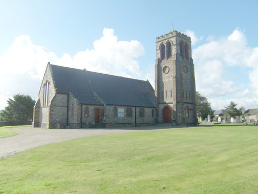 Holy Trinity Church (Mevagh)church/chapel · 28 yd
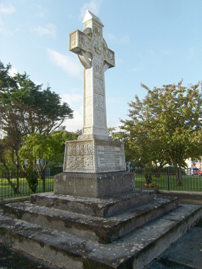 Earl of Leitrim Monumentmonument · 76 yd
 Aghalatty Stone RingfortFairy fort / stone ringfort · 1.3 mi
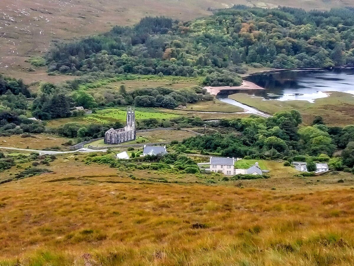 Lost Glenree Mound / FortEnclosure · 1.8 mi
 Àn Trá MorBeach / strand · 1.9 mi
 DowningsOfficial bathing water · 2.2 mi
 Monterey PineMonterey Pine · 3.0 mi
 Monterey CypressMonterey Cypress · 3.0 mi
 Ards Friary Coastal LoopOfficial walking route · 3.1 mi
 Cliffs at Lamb's IslandPublicly named cliff or headland · 3.2 mi
 Cliffs north of DowniesPublicly named cliff or headland · 3.2 mi
 Clonmass IslandIslet · 3.2 mi
Other information
Photo: Credit not shown in the picture search · Rights wording not checked; contact us if this picture should be removed