What is recorded here
The fairy fort or earthen ringfort in Flemingstown (Shanrahan parish) is in County Tipperary, Ireland. It sits on a south-east-facing slope in rough pasture and preserves a circular area enclosed by two earthen banks separated by a wide, flat-bottomed ditch. Large tree stumps are scattered around both banks and inside the enclosure, while a field boundary cuts across the site from north-west to south-east. The monument may have been a ringfort re-used as a tree-ring.
On a SE-facing slope in rough pasture. Circular area (diam. 24.4m NW-SE; 24m E-W) enclosed by a broad earthen bank (W 1.1m crest, 5.6m base; int. H 0.98m; ext. H 1.18m); wide, flat-bottomed fosse (W 2.1m; D 1.1m); outer bank with steep external profile (W 1.1m crest, 4.2m base; ext. H 1.1m) and a narrow external fosse (W 1.5m; D 0.6m). There are a number of large tree stumps around the inner and outer banks and in the interior. The interior is slightly concave and quite overgrown with brambles. A field boundary, running NW-SE, bisects the monument. There is no obvious entrance feature. The monument is depicted on the 1st (1840) ed. OS 6-inch map as an oval tree-ring and as a circular bivallate enclosure on the 2nd (1907) ed. The monument may have been a ringfort re-used as a tree-ring.
Compiled by: Jean Farrelly
Date of upload: 20 November 2013
The monument record does not grant public access. Check the route and ask the landowner before entering private land.
- What survives
- Recorded monument
Places near here
 Flemingstown Millmill manager's house · 842 yd
 Enclosure in CarrigmoreEnclosure · 1059 yd
 TubbermullacashHoly well · 1253 yd
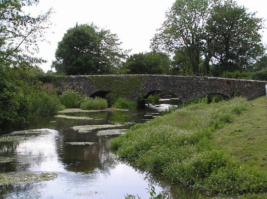 bridgebridge · 1685 yd
 Shanrahan CastleCastle, hall-house · 1.0 mi
 Shanbally CastleCastle · 1.1 mi
 Sweet ChestnutSweet Chestnut · 1.1 mi
 KnockanardMountain / peak · 2.1 mi
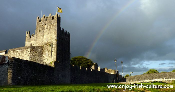 MonaminaneMountain / peak · 2.2 mi
 Ronald Reagan CentreHeritage attraction · 2.7 mi
 Rehill WoodForest · 2.8 mi
 Blackwater (Avondhu) WayWalking route · 3.4 mi