What is recorded here
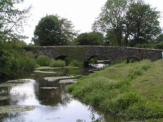
Four-arch bridge over river, extant 1840. Roughcast walls centred on triangular cutwaters to piers having pyramidal capping with lichen-covered cut-granite coping to benchmark-inscribed parapets. Series of four segmental arches with drag edged tooled limestone ashlar voussoirs centred on cut-limestone keystones. Sited spanning River Duag with unkempt banks to river.
A bridge representing an integral component of the civil engineering heritage of County Tipperary with the architectural value of the composition suggested not only by the two-tone dressings demonstrating good quality workmanship, but also by the elegant "sweep" of the arches making a pleasing visual statement at a crossing over the River Duag: meanwhile, a discreet benchmark remains of additional interest for the connections with cartography and the preparation of maps by the Ordnance Survey (established 1824). NOTE: The bridge is not featured in "Maps of the Roads of Ireland" (1778) by Taylor and Skinner and it is possible that it was put in place when the nearby church was reconstructed as 'a neat modern edifice of hewn stone, towards the erection of which the late Board of First Fruits granted a loan of £1000, in 1819' (Lewis 1837 II, 552).
This does not grant access. Most recorded buildings are privately owned; view them only from public ground unless the owner allows entry.
Places near here
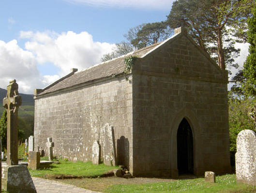 mausoleummausoleum · 82 yd
 Shanrahan CastleCastle, hall-house · 104 yd
 Flemingstown Millmill manager's house · 1010 yd
 ClogheenSettlement cluster · 1628 yd
 TubbermullacashHoly well · 1.4 mi
 Sweet ChestnutSweet Chestnut · 1.8 mi
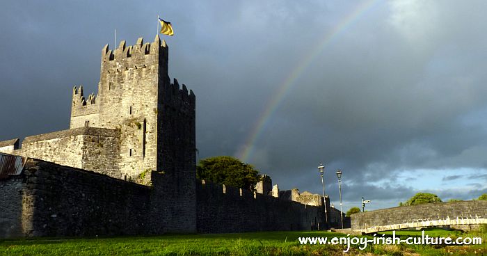 MonaminaneMountain / peak · 1.8 mi
 Shanbally CastleCastle · 1.8 mi
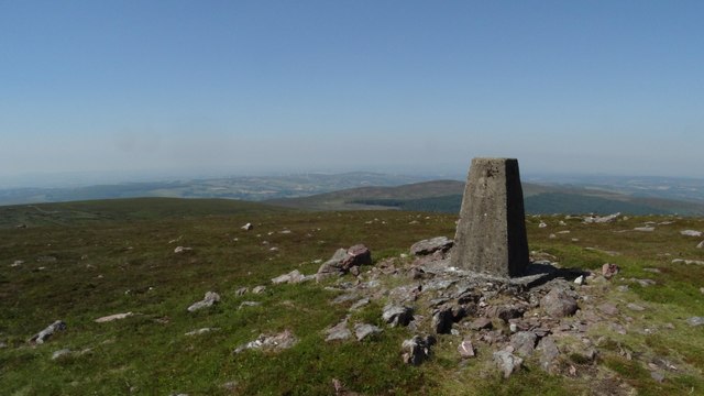 KnockshanahullionMountain / peak · 1.9 mi
 Blackwater (Avondhu) WayWalking route · 2.6 mi
 Bohernagore WoodForest · 2.8 mi
 Grubb’s GraveMemorial · 3.3 mi
Other information
Photo: National Inventory of Architectural Heritage · Website use allowed for educational or private purposes with source credit