
What is recorded here
No visible entrance is recorded, suggesting the fort may have used a hidden gap or a demolished opening rather than a grand gate. The fort stands on a ridge shoulder in County Donegal, watching sixty metres of good land and the life that moved across it. Its earthen bank still rises in the east, while the rest has softened into the field, as if the fort is withdrawing instead of disappearing.
Internal diam. 60m. A large circular space enclosed by an earthen bank, 1m to 2m in height and best preserved in the E section, a fosse and a very worn outer bank. It is situated on the shoulder of a low E-W ridge and commands fine views of the surrounding, good land. Oliver Davies reported traces of a field system, older than the present one, close to this site.
The above description was derived from the 'Archaeological Survey of County Donegal. A description of the field antiquities of the County from the Mesolithic Period to the 17th century.' Compiled by: Brian Lacey with Eamon Cody, Claire Cotter, Judy Cuppage, Noel Dunne, Vincent Hurley, Celie O'Rahilly, Paul Walsh and Seán Ó Nualláin (Lifford: Donegal County Council, 1983). In certain instances the entries have been revised and updated.
Date of upload: 22 September 2008
The monument record does not grant public access. Check the route and ask the landowner before entering private land.
- What survives
- Recorded monument
Places near here
 Finner / Rathmore EnclosureEnclosure · 439 yd
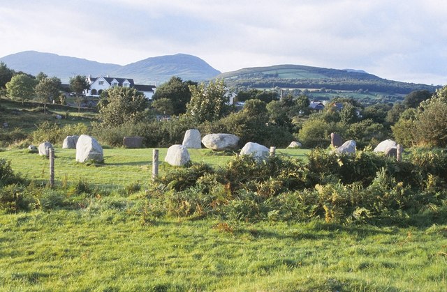 Dunmuckrum Stone RingfortFairy fort / stone ringfort · 458 yd
 Church in FinnerChurch · 778 yd
 bridgebridge · 856 yd
 Tullan StrandBeach / strand · 1.2 mi
 Finner Old GraveyardGraveyard · 1.2 mi
 Wardtown StrandBeach / strand · 1.3 mi
 St Anne's Church GraveyardGraveyard · 1.6 mi
 Cliffs by BundoranPublicly named cliff or headland · 1.6 mi
 CastleCastle, unclassified · 1.7 mi
 Fairy BrigesHeritage attraction · 1.8 mi
 Wishing ChairHeritage attraction · 1.8 mi
Other information
Photo: Credit not shown in the picture search · Rights wording not checked; contact us if this picture should be removed