What is recorded here
On the edge of a ridge with ground falling SW towards the Glen River, in undulating terrain under pasture. Identified on an aerial photograph taken in 1973 (GSI S.513/512) as a roughly circular enclosure (diam. c. 30m) with a field boundary running roughly E-W along the N quadrant. It is not visible at ground level.
Compiled by: Jean Farrelly
Date of upload: 26 August 2011
The monument record does not grant public access. Check the route and ask the landowner before entering private land.
- What survives
- Recorded monument
Places near here
 Derrypark Househouse · 1.1 mi
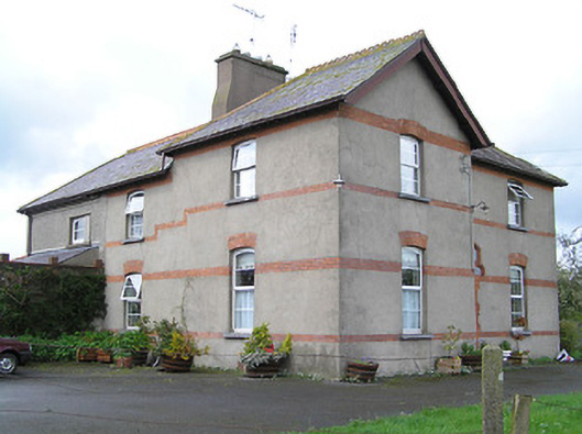 Ballyneill Castlehouse · 1.3 mi
 Thomas KielyMemorial · 1.4 mi
 Enclosure in MullaghEnclosure · 1.7 mi
 Burnt mound in Coolnamuck DemesneBurnt mound · 1.8 mi
 Ormonde CastleHeritage attraction · 2.3 mi
 CastleCastle, Anglo-Norman masonry castle · 2.3 mi
 Coolnamuck Castke (in Ruins)Castle, tower house · 2.3 mi
 Curraghdobbin HillMountain / peak · 2.6 mi
 Coolnamuck Wood WestForest · 2.7 mi
 Wild CherryWild Cherry · 2.7 mi
 CarrigfenoaghMountain / peak · 3.5 mi