What is recorded here
Thomastown in County Kildare, Ireland, holds a hidden field system where linear marks still cut across the annexe of a possible ringfort. The crops reveal sharp boundaries on both sides of the ancient earthwork, suggesting people once divided the land with deliberate care. What is absent is a clear account of who lived there or why they marked the soil so precisely. The field itself has become a record, preserving the shape of human choice long after the hands that made it disappeared.
Situated in centre of field containing cropmarks of several monuments (KD003-035-/036-/037-). Cropmark of linear earthworks running off and across the annexe of a possible ringfort (KD003-037----) are visible on aerial photograph taken 11/07/2018. Concentration of linear cropmarks running off and across the annexe on N and S side may represent the remains of a field system (KD003-038----). Cropmark of smaller ringfort possible (KD003-036----) and ring-ditch (KD003-035----) to E.
Compiled by: Caimin O'Brien based on details kindly provided by Noel Murphy
Date of upload: 2 August 2018
The monument record does not grant public access. Check the route and ask the landowner before entering private land.
- What survives
- Recorded monument
Places near here
 Fairy fort / ringfort in Thomastown (cadamstown Ed)Fairy fort / ringfort · 86 yd
 Enclosure in Johnstown (cadamstown Ed)Enclosure · 787 yd
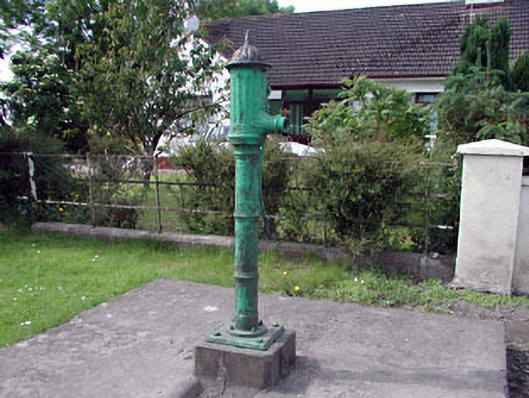 water pumpwater pump · 1644 yd
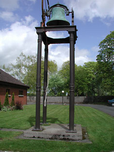 Catholic Church of the Holy Familybell tower/stand · 1.0 mi
 Site of CastleCastle, tower house · 1.1 mi
 Bawn in Newcastle (moyfenrath Lower By.)Bawn · 1.8 mi
 European ashEuropean ash · 3.9 mi
 Cloncurry GraveyardHeritage attraction · 4.0 mi
 The Grill ShackHeritage attraction · 4.8 mi
 Old Bog Road made famous by Teresa Bryton 1868-1943Memorial · 5.2 mi
 Horse-chestnutHorse-chestnut · 5.5 mi
 Croppies' GraveMemorial · 5.5 mi