
What is recorded here
Visible on an aerial photograph (Karina Holton, SMR file). At the N end of a short, low, pasture ridge, c. 80m E of the N-flowing Togher River, with lower wet, rushy ground immediately to NW-N-NE. A fairly poorly preserved, oval area (int. diams. 31m E-W; 26m N-S) is defined by a low but very broad earthen bank (av. Wth c. 15m; int. H 0.6-1.1m; ext. H 1.3m). The absence of an obviously visible outer fosse suggests the bank-material may have been sourced from the interior of the site. A road runs E-W along the S-limits and a linear 'headland' (Wth 8m) running parallel to the N of the road is fenced off across the enclosing bank with wooden post-and-rail fencing.
Compiled by: Gearóid Conroy
Date of upload: 10 June 2011
The monument record does not grant public access. Check the route and ask the landowner before entering private land.
- What survives
- Recorded monument
Places near here
 Enclosure in Kilmurry (donadea Ed)Enclosure · 688 yd
 Fairy fort / ringfort in Thomastown (cadamstown Ed)Fairy fort / ringfort · 859 yd
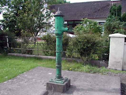 water pumpwater pump · 866 yd
 farm housefarm house · 1115 yd
 Site of CastleCastle, tower house · 1.5 mi
 Bawn in Newcastle (moyfenrath Lower By.)Bawn · 1.6 mi
 European ashEuropean ash · 3.5 mi
 Cloncurry GraveyardHeritage attraction · 3.5 mi
 The Grill ShackHeritage attraction · 4.5 mi
 Old Bog Road made famous by Teresa Bryton 1868-1943Memorial · 4.8 mi
 Horse-chestnutHorse-chestnut · 5.7 mi
 Croppies' GraveMemorial · 5.9 mi
Other information
Photo: Credit not shown in the picture search · Rights wording not checked; contact us if this picture should be removed