What is recorded here
Situated on a fairly level landscape c. 300m E of the site of Scurlockstown tower house (ME037-011----) and the associated structures. The remnants of a field system covering about 4 ha (c. 10 acres) are visible on Google Earth (15/02/2019), and also on OSAP (2012). The fields are large (dims up to c. 130m x c. 50m) and appear to be defined by silted drains. The field boundaries are parallel with the current field boundaries, and many of the fields are occupied by cultivation ridges. Around the centre of the area smaller plots (dims c. 35m x c. 10m) on the E side of a major S-N sunken feature may represent settlement.
Compiled by: Michael Moore
Date of upload: 21 August 2019
The monument record does not grant public access. Check the route and ask the landowner before entering private land.
- What survives
- Recorded monument
Places near here
 Scurlogstown CastleArchaeological place · 382 yd
 CastleCastle, motte · 537 yd
 Church (in Ruins)Church · 544 yd
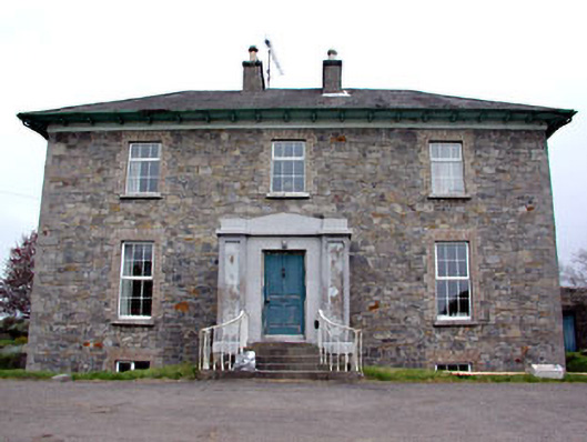 Newtown Parkhouse · 1306 yd
 CrossCross, High cross (present location) · 1.4 mi
 Newtown AbbeyCathedral · 1.5 mi
 Small-leaved ElmSmall-leaved Elm · 2.7 mi
 Saints IslandForest · 2.9 mi
 MullaghMountain / peak · 7.6 mi
 Larchil Arcadian GardensHeritage attraction · 8.1 mi
 Kilgar GardensHeritage attraction · 8.2 mi
 Candle HillMountain / peak · 8.3 mi