What is recorded here
Located on a slight N-facing slope, and these features are only visible on Google Earth (21/07/2021). The cropmark ditches of fields extend off to the N of rath (ME020-096----), although not actually connected with it. The ditches cover an area of about 7 acres (c. 3 ha) and form rectangular fields (dims c. 35m x c. 40m) with rounded corners. There are some narrow passages or roads (Wth c. 5-10m) between some of the fields but no houses or structures can be distinguished. It was first reported by Anthony Murphy.
See the attached enhanced view from Google Earth (21/07/2021)
Compiled by: Michael Moore
Date of upload: 31 August 2021
The monument record does not grant public access. Check the route and ask the landowner before entering private land.
- What survives
- Recorded monument
Places near here
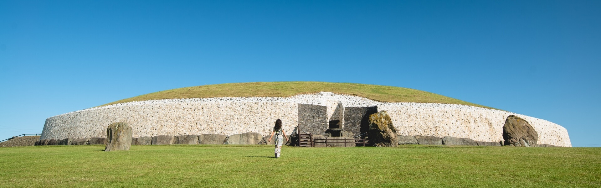 Enclosure in Bey MoreEnclosure · 396 yd
 BeaubecArchaeological place · 643 yd
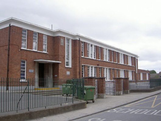 Saint Mary's National Schoolschool · 1.2 mi
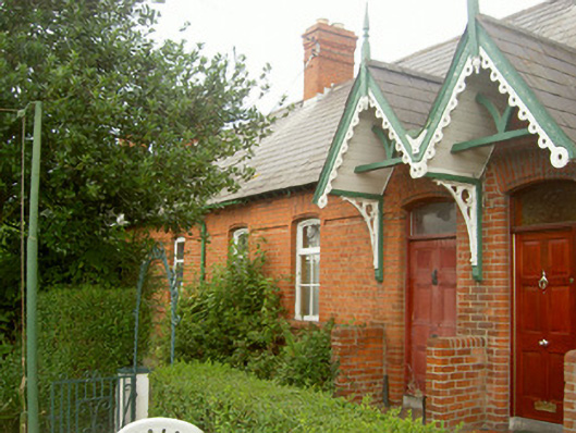 worker's houseworker's house · 1.2 mi
 Millmount MuseumMuseum · 1.3 mi
 Newgrange Business ParkMemorial · 1.4 mi
 Siege of Droghedasiege · 1.5 mi
 The ThoselMemorial · 1.6 mi
 Platin HouseCastle, unclassified · 1.8 mi
 Yellow IslandIslet · 2.8 mi
 Grove IslandIslet · 3.2 mi
 Glenmore ForestWood · 3.2 mi