What is recorded here
In rough hillside grazing, on the lower NNE-facing slopes of Stoukeen. A stretch of relict stone field boundary (H 0.3m; T c. 0.6m), which protrudes above the peaty surface, commences at a point c. 12m to the N of an enclosure (CO038-165----). It extends (L 8m) in a general NNW direction and then changes to a NNE direction for a distance of 12m. It then returns to a NNW direction for a further 12m and from there it meanders across the hillside for a further c. 45m. The wall is one to two stones in width.
The above description is derived from 'The Archaeological Inventory of County Cork. Volume 5' (Dublin: Stationery Office, 2009).
Date of upload: 22 December 2009
The monument record does not grant public access. Check the route and ask the landowner before entering private land.
- What survives
- Recorded monument
Places near here
 IndicatedFairy fort / stone ringfort · 249 yd
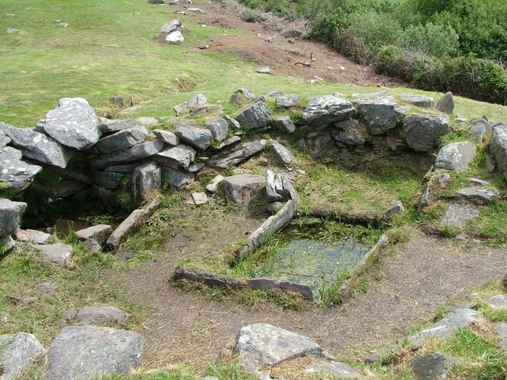 Fulacht FiadhFulacht fia · 611 yd
 Caherbarnagh East TopMountain / peak · 1461 yd
 Caherbarnagh NW TopMountain / peak · 1.2 mi
 Ballydaly Church (in Ruins)Church · 1.6 mi
 Church of Our Lady of Lourdeschurch/chapel · 2.0 mi
 Wildlife of the UplandsVisitor information · 3.5 mi
 Birds of DuhallowVisitor information · 3.6 mi
 Kilmeedy CastleCastle, tower house · 3.8 mi
 RowanRowan · 4.0 mi
 Millstreet Museum & Tourist Information CentreMuseum · 4.1 mi
 Nohaval WoodWood · 4.1 mi