What is recorded here
In rough hill pasture, on a S-facing rocky slope, overlooking a river valley. The curvilinear remains of a stone wall (T 0.6m; H 0.5m) protrude above the surface of bog and extend to the NE and then to the E for a distance of c. 40m, ending at a hut site (KE103-038002-). Collapse from the upper part of the field wall is scattered along both sides of the base of the wall.
The above description is derived from the published 'Archaeological Inventory of County Kerry. Volume I: South-West Kerry' (Dublin: Stationery Office, 2009). In certain instances the entries have been revised and updated in the light of recent research.
Date of upload: 30 May 2011
The monument record does not grant public access. Check the route and ask the landowner before entering private land.
- What survives
- Recorded monument
Places near here
 Hut site in ErneenHut site · 520 yd
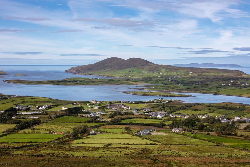 IndicatedField boundary · 541 yd
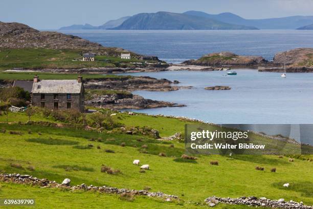 An CaincínMountain / peak · 1490 yd
 CaoinkeenCliff · 1.0 mi
 KnocknamanaghMountain / peak · 1.1 mi
 KilnKiln, lime · 1.4 mi
 Bridge in Inchimore (glanarought By., Kenmare Ed)Bridge · 1.5 mi
 Bullaun StoneHeritage attraction · 2.5 mi
 Bonane Heritage ParkMuseum · 2.6 mi
 The Priests LeapViewpoint · 2.6 mi
 Battle of Callannbattle · 4.1 mi
 European YewEuropean Yew · 4.8 mi