
What is recorded here
Carriganimmy holds a broken stone arc on a peaty slope, marking a field that stopped existing long before people stopped noticing it. The wall rises half a metre above the bog, then disappears under grass and darkness, as if the boundary itself refused to be finished. A five-stone circle watches from a hundred metres away, silent and exact, while the main arc frays into moor and memory. Together they suggest a place where human order was made, held for a time, and quietly returned to the hill.
In rough hill grazing, on a S-facing, peaty slope. A semicircular arc (C 28m) of a relict stone field boundary (max. T 1.4m; H 0.6m) extends W-E and protrudes above the surface of the peat. The relict wall, which is partially obscured by moor grass, is composed of slabs (L 0.81m; Wth 0.4 0.8m; T 0.2-0.3m) along the W section where the most substantial portion of the arc is visible. The NW portion is completely covered in bog. The E portion is composed of boulders (c. 0.35m x 0.35m) with at least courses of walling visible in one area. The E portion terminates at outcropping rock. A short arc (C 5.4m) of stones branches off the W end of the relict boundary and projects towards the E. An intermittent stretch (L c. 6m) of stones projects to the W from the N portion. A five-stone circle (CO048-097001-) lies c. 100m to the NNW.
The above description is derived from 'The Archaeological Inventory of County Cork. Volume 5' (Dublin: Stationery Office, 2009).
Date of upload: 22 December 2009
The monument record does not grant public access. Check the route and ask the landowner before entering private land.
- What survives
- Recorded monument
Places near here
 Enclosure in CarriganimmyEnclosure · 118 yd
 Hut site in CarriganimmyHut site · 136 yd
 St John the Baptist Roman Catholic Churchchurch/chapel · 1646 yd
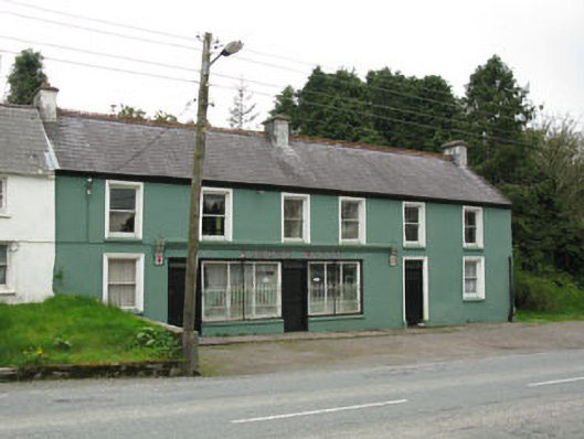 Edmond Walshhouse · 1678 yd
 Paddy Mulcahey 2009Memorial · 2.3 mi
 Standing Stone ? At J WellMemorial · 2.3 mi
 MusheramoreMountain / peak · 2.7 mi
 Mullaghanish Far North-East TopMountain / peak · 3.6 mi
 Kilmeedy CastleCastle, tower house · 3.7 mi
 Blackwater (Duhallow) WayWalking route · 3.7 mi
 RowanRowan · 4.2 mi
 Birds of DuhallowVisitor information · 4.4 mi
Other information
Photo: Credit not shown in the picture search · Rights wording not checked; contact us if this picture should be removed