What is recorded here
On the W side of Watergate St. It adjoins Fethard Castle (TS070-040005-) to the S. Depicted on the Grace map of 1708 (O’Keeffe 2003, map 5) in stylised fashion as a small house with a central chimney. This is a three-storey four-bay building (ext. dims. 15m x 7m) with the Castle Inn, with its door and shop front in the E façade, occupying the ground floor. The building was originally two storeys high with a steeper roof, this is visible in the N gable. In 2005/6 the second floor was heightened at eaves level, with a corresponding heightening of the second floor windows, and the building was re-roofed. O’Keeffe (1995, 64) noted a central rear projection (dims. 5.3m N-S) comparable to the chimney projection at the rear of the medieval building (TS070-040006-) S of Fethard Castle. When inspected the projection was a shell with an insubstantial chimney flue in the SW angle (ibid.). The internal partitions are ‘reported to be made up of trellises of light timbers, filled with grain’ (ibid.). In the E face of a wall which connects the SW angle of the rear project to the NW angle of Fethard Castle there is a recess (Wth 1.3m) which may have contained a well (ibid.). An inscribed stone is reported to have been found at the base of the recess (ibid.).
Compiled by: Jean Farrelly
Date of upload: 11 May 2015
The monument record does not grant public access. Check the route and ask the landowner before entering private land.
- What survives
- Recorded monument
Places near here
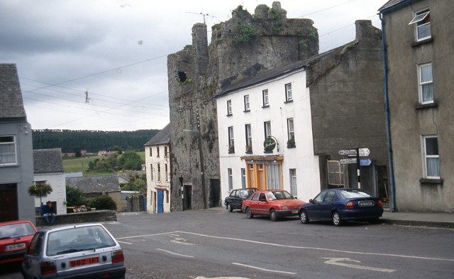 The Castle Innhouse · 1 yd
 Court CastleCastle · 16 yd
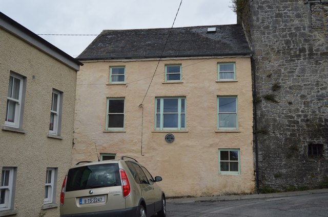 Watergate Househouse · 28 yd
 CrossCross, Market cross · 37 yd
 Edmond's CastleCastle · 48 yd
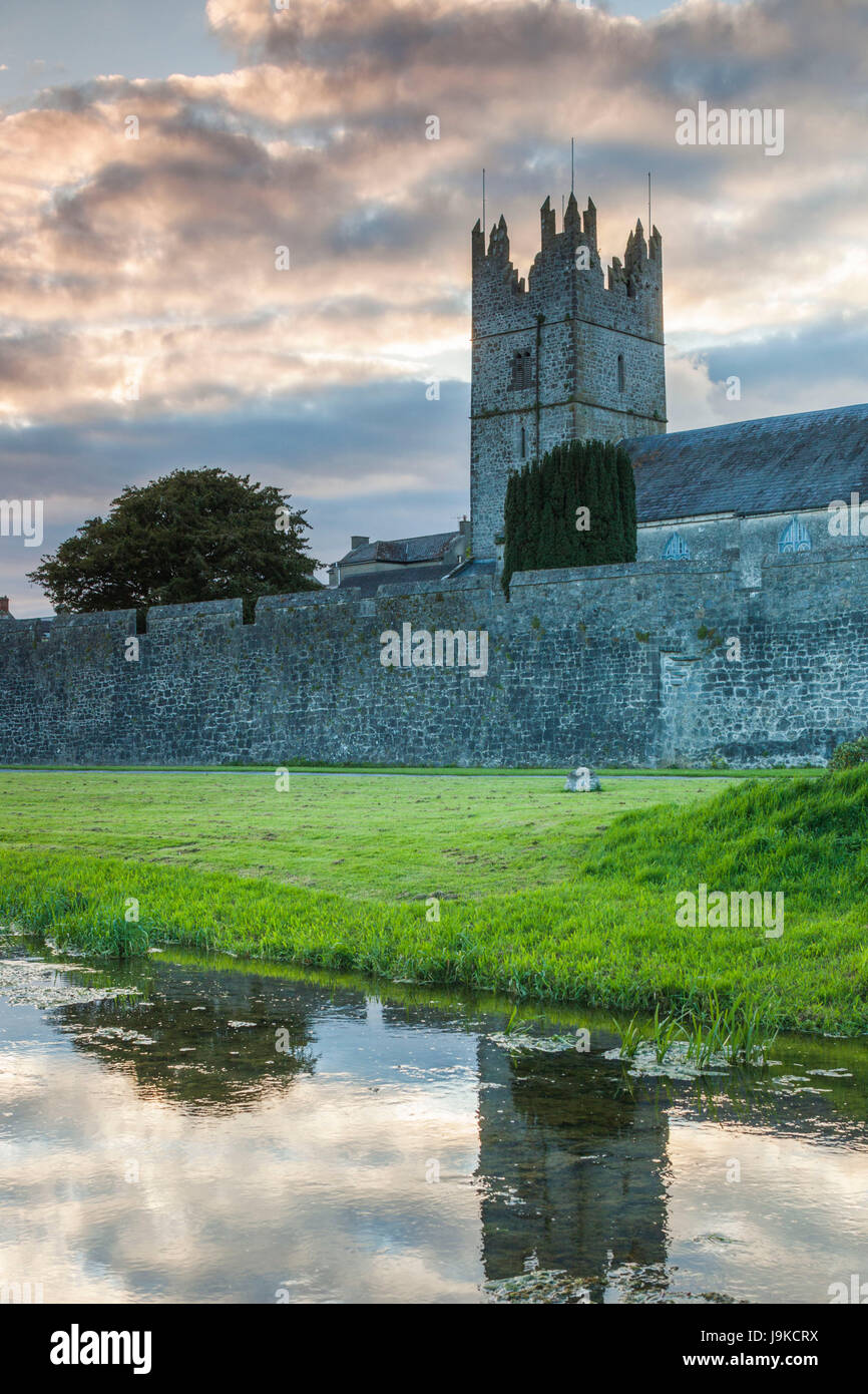 Almshouse in FethardAlmshouse · 62 yd
 European YewEuropean Yew · 100 yd
 East GateMemorial · 121 yd
 Grove WoodForest · 1.1 mi
 Kilknockan HillMountain / peak · 1.2 mi
 CarrigdotiaMountain / peak · 4.3 mi
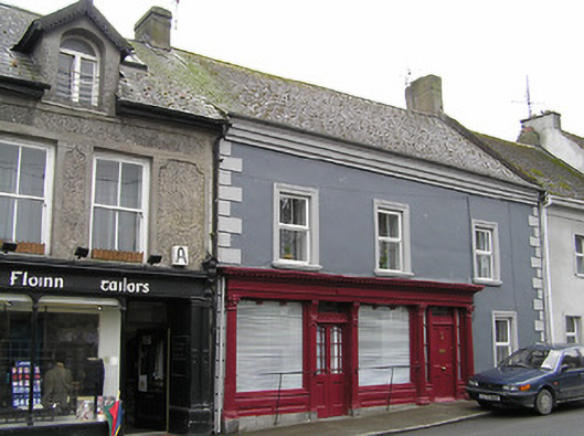 O'Sheahouse · 45 yd