What is recorded here
The weir (regulating) in Fertiana is in County Tipperary, Ireland. The 1654-6 Civil Survey described two eel weirs in repair. The 2008 inventory recorded two stone weirs crossing the River Suir northwest of Fertiana castle on the Ordnance Survey map current at that time and suggested they might occupy the same sites as the older weirs.
Described in the Civil Survey (1654-6) as 'two Eele weyres in repaire' (Simington 1931, vol. 1, 55). Two stone weirs are depicted on the current edition of the OS 6-inch map traversing the River Suir to the NW of Fertiana castle (TN047-031). These may be on the site of those mention in the Civil Survey.
Compiled by: Caimin O'Brien.
Date of upload: 22 September 2008
The monument record does not grant public access. Check the route and ask the landowner before entering private land.
- What survives
- Recorded monument
Places near here
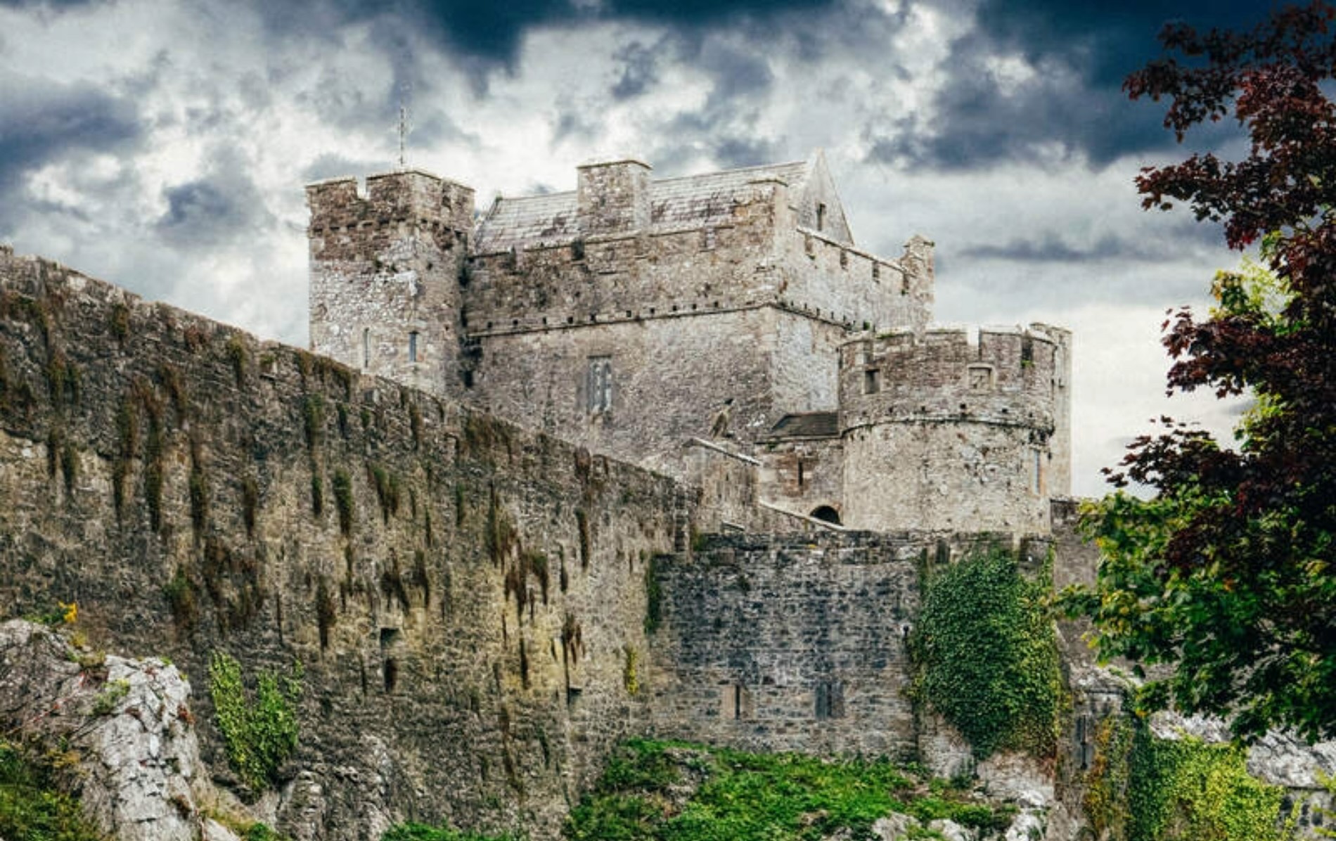 Castle (Site of)Castle, unclassified · 421 yd
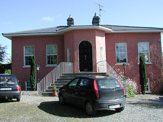 Beakstown Cottagehouse · 463 yd
 Beakstown Mills (disused)Water mill, unclassified · 504 yd
 Beakstown HouseCastle, unclassified · 592 yd
 Abbey WellHoly well · 760 yd
 Enclosure in GraiguenoeEnclosure · 1161 yd
 Cormackstown Heritage CentreMuseum · 1.2 mi
 Wildlife CorridorWood · 2.6 mi
 Killough Hill (site of)Mountain / peak · 2.7 mi
 WoodlandWood · 3.0 mi
 Lár na PáirceMuseum · 3.1 mi
 Clonoulty HillMountain / peak · 4.9 mi