
What is recorded here
Situated on the W bank of the River Suir. A mill building recently demolished, however, the millrace is still intact and is constructed from cut blocks of limestone indicating an eighteenth/nineteenth-century date for the structure. This could be the possible location of one of the 'two Mills on the River Shewer in repaire' mentioned in the Civil Survey for Beakstown (Simington 1931, vol. 1, 66).
The above description is derived from 'The Archaeological Inventory of County Tipperary. Vol. 1 - North Tipperary' compiled by Jean Farrelly and Caimin O'Brien (Dublin: Stationery Office, 2002). In certain instances the entries have been revised and updated in the light of recent research.
Date of upload/revision: 22 September 2008
The monument record does not grant public access. Check the route and ask the landowner before entering private land.
- What survives
- Recorded monument
Places near here
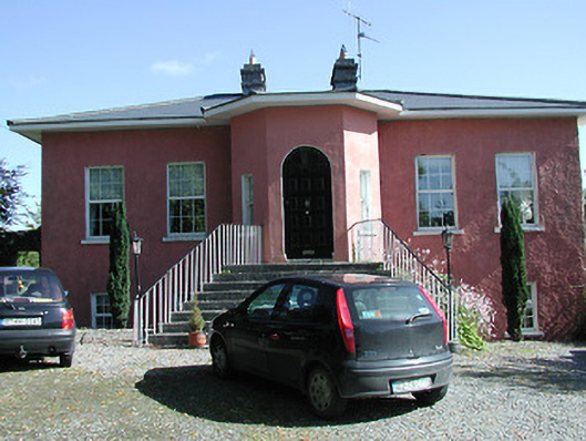 Beakstown Cottagehouse · 50 yd
 Beakstown HouseCastle, unclassified · 105 yd
 Beakstown Saw Millmill (water) · 240 yd
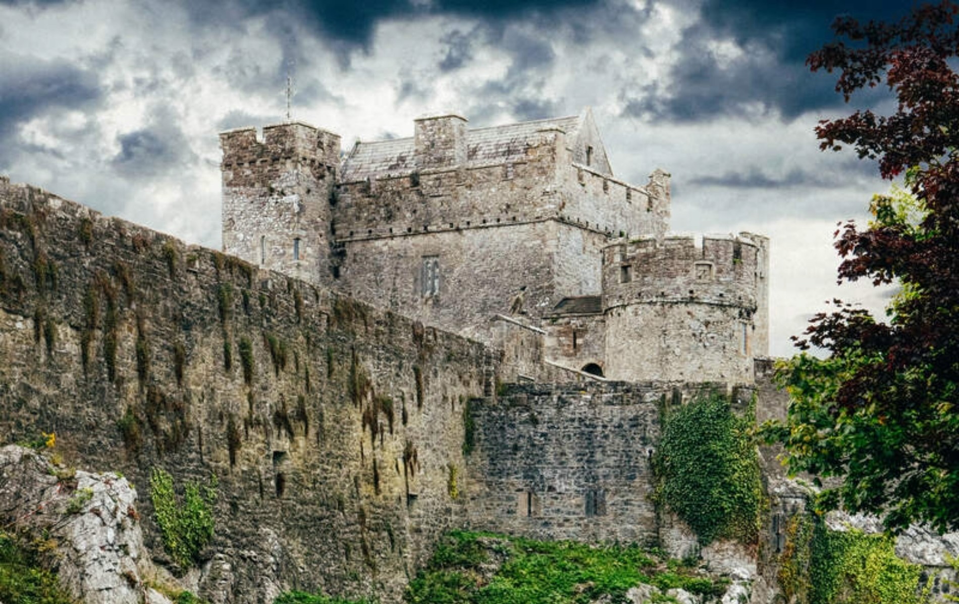 Castle (Site of)Castle, unclassified · 828 yd
 Abbey WellHoly well · 1258 yd
 Enclosure in GraiguenoeEnclosure · 1664 yd
 Cormackstown Heritage CentreMuseum · 1701 yd
 Wildlife CorridorWood · 2.5 mi
 WoodlandWood · 2.8 mi
 Lár na PáirceMuseum · 2.9 mi
 Killough Hill (site of)Mountain / peak · 3.0 mi
 KnockaneMountain / peak · 5.0 mi
Other information
Photo: Credit not shown in the picture search · Rights wording not checked; contact us if this picture should be removed