What is recorded here
Ferskill and Mullinagee still argue over the missing mill because a 1612 grant gave Sir Francis Shane half a cartland near Granard while a 1814 map marked a stump in Ferskill. That much distance turned a ordinary landmark into a ghost, drifting between towns until memory itself began to spin. Perhaps the mill flew so high above the valley that no one could agree where its shadow fell.
A land grant to Sir Francis Shane in 1612 included the ‘north cartron of Leitrom near Drohednegalliogh, which parcel of Leitrom contains 2 cart. half of the cart. of the Windmill near Granard' (Cal. pat. rolls Ire., Jas I, 245). The precise location of the windmill has not been identified. The stump of a windmill recorded on the Grand Jury map of Longford (1814) in 'Ferriskhill' (Ferskill) may be it or it may have been located in Mullinagee (Mimnagh 2010, 384).
Compiled by: Caimin O'Brien
Date of upload:11 February 2013
The monument record does not grant public access. Check the route and ask the landowner before entering private land.
- What survives
- Recorded monument
Places near here
 Church in GranardkillChurch · 131 yd
 Site of Old Town of GranardSettlement deserted, medieval · 245 yd
 St. Patricks WellHoly well · 494 yd
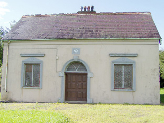 Granard Masonic Hallmasonic lodge/hall · 971 yd
 Moat of GranardCastle, motte and bailey · 1137 yd
 CastleCastle, unclassified · 1155 yd
 Granard MotteMotte-and-bailey castle remains · 1174 yd
 1798 Monumentmonument · 1322 yd
 Clonfin Ambush MemorialMemorial · 3.0 mi
 Cloonfin WoodForest · 3.4 mi
 CartronfreeMountain / peak · 3.7 mi
 Derrycassan WoodsWood · 4.1 mi