What is recorded here
Feighcullen holds sixteen rectangular fields inside a ghost church, their shallow banks still dividing grass that has forgotten every human foot. The earth rises only half a metre, yet it keeps its shape across four hundred metres of Kildare soil, suggesting orderly hands rather than random rain. Perhaps monks farmed there before leaving, or perhaps tenants worked the same ground centuries later and simply vanished. The fields do not ask when they were made; they wait for someone young enough to wonder.
Covering a large, roughly rectangular area (dims. L c. 450m NE-SW; Wth c. 350m NW-SE) and occupying the interior and overlying the S perimeter of an older, possible ecclesiastical enclosure (KD017-009004-). A series of some 16 rectilinear small and larger fields (dims. L c. 20-c.50m; Wth c. 30-c.60m) are defined by low, intermittent earthen banks (Wth 3-5m; H 0.2-0.5m) and low scarps (H 0.5m) which may be associated with the possible medieval church site (KD017-009001-) immediately to the W (CUCAP (1966) APH084-9; CUCAP (1967) ATA031-2). Earthworks of field system containing cultivation ridges clearly visible on Google Earth orthoimage taken 17/01/2020.
See attached oblique aerial photographs (CUCAP APH084-9; ATA031-2) taken 1966 and 1967 and Google Earth orthoimages.
Compiled by: Gearóid Conroy
Revised by: Caimin O'Brien
Date of revised upload: 21 July 2021
The monument record does not grant public access. Check the route and ask the landowner before entering private land.
- What survives
- Recorded monument
Places near here
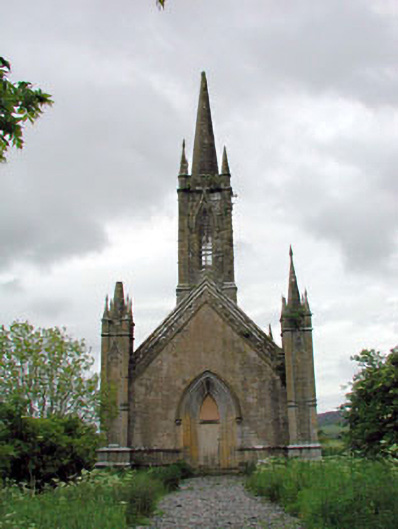 Feighcullen Churchchurch/chapel · 99 yd
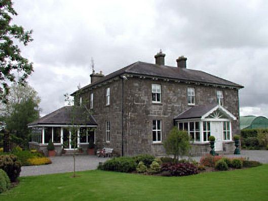 Feighcullen Housefarm house · 438 yd
 Enclosure in Cloncurry (offaly East By., Cloncurry Ed)Enclosure · 1.2 mi
 Enclosure in ConlanstownEnclosure · 1.4 mi
 Hill of AllenMountain / peak · 1.9 mi
 Chair of KildareCastle, unclassified · 2.3 mi
 Bawn in Grangeclare WestBawn · 2.9 mi
 Lullymore Heritage ParkHeritage attraction · 3.1 mi
 Foran's WoodForest · 3.1 mi
 Bithia Mary CrokerMemorial · 3.7 mi
 Killinthomas Wood (Rathangan)Wood · 3.9 mi
 Grand Canal WayVisitor information · 4.6 mi