What is recorded here
Fedamore field system in County Limerick is a large cropmarked enclosure with smaller ridge-and-furrow fields beside it, probably connected to the medieval manor near Fedamore Church and the old castle site. The land still shows the shapes of ancient cultivation, as if the fields had never fully forgotten the hands that made them.
Cropmark of large enclosure (LI022-102----) and associated ridge & furrow cultivation ridges visible today on Digital Globe aerial photographs and earlier OSi aerial coverage. Could be the remains of a large field or paddock at the centre of a series of small fields containing cultivation ridges of medieval date and possibly associated with the medieval manor of Fedamore. Fedamore Church (LI022-100001-) and site of Fedamore Castle (LI022-140----) 220m to S and 500m to SW respectively.
Compiled by: Caimin O'Brien
Date of upload: 2 March 2020
The monument record does not grant public access. Check the route and ask the landowner before entering private land.
- What survives
- Recorded monument
Places near here
 Enclosure in FedamoreEnclosure · 1 yd
 Not indicated (C of I on site)Church · 443 yd
 Fedamore Housecountry house · 727 yd
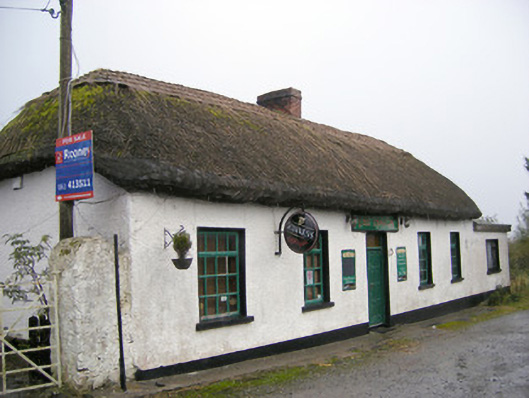 The Thatchhouse · 1169 yd
 Bawn in SkoolhillBawn · 1561 yd
 Carnane RockNamed rock · 1.2 mi
 Skool HillMountain / peak · 1.3 mi
 Dotted outlineBawn · 1.6 mi
 Banoge's WellSpring · 1.6 mi
 ToberauillinSpring · 1.9 mi
 Lough GurVisitor information · 3.3 mi
 Grange Stone CircleArchaeological place · 3.3 mi