What is recorded here
Fawn holds a circular earthen ring on a north-west slope, its grassy interior measuring twenty-two metres across and its original entrance still hidden beneath hedge and soil. The bank rises barely sixty centimetres outside the top edge, yet the shape remains clear enough to suggest a lived boundary rather than a random mound. People may have walked that lost opening for generations, marking territory or sheltering through stormy seasons before the forest closed around the field. The fort stands unplanted inside the trees, waiting for someone to notice the line where the land still remembers its own shape.
Located on a NW-facing slope. This is a grass and rush-covered circular area (int. diam. 22.5m N-S; 21.5m E-W) defined by an earthen bank (at SE: Wth 3.1m; int. H 0.25m; ext. H 0.65m) and hedge, with an external fosse (at SE: Wth 1.9m; D 0.2m). The original entrance is not identified. It remains unplanted in a forest (Bing 2013).
The above description is derived from 'The Archaeological Inventory of County Leitrim' compiled by Michael J. Moore (Dublin: Stationery Office, 2003). In certain instances the entries have been revised and updated in the light of recent research.
Date of upload: 23 September 2008
The monument record does not grant public access. Check the route and ask the landowner before entering private land.
- What survives
- Recorded monument
Places near here
 Tobereendoney WellHoly well · 757 yd
 fortsFairy fort / earthen ringfort · 890 yd
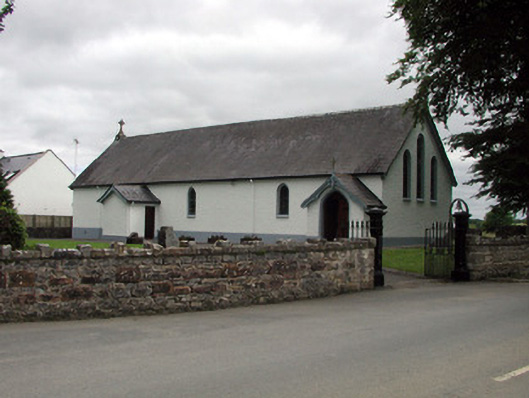 Saint Joseph's Catholic Churchchurch/chapel · 1090 yd
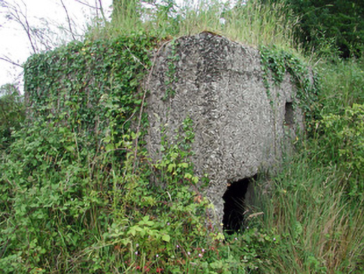 pill boxpill box · 1158 yd
 Shannon-Erne WaterwayVisitor information · 1222 yd
 Sit of Breifny CastleCastle, tower house · 1241 yd
 PortCastle, unclassified · 1.2 mi
 Leabaidh DermotCave · 1.3 mi
 Battle of Áth an Chipbattle · 1.4 mi
 Sheemore Ambush MemorialMonument · 1.6 mi
 InishnagonIsland · 2.1 mi
 Moon RiverHeritage attraction · 3.7 mi