What is recorded here
Faunmore holds a subcircular earthen ringfort atop a hillock overlooking Dunmanus Bay. The earthworks are old enough to appear on the 1841 OS map, yet human fences now swallow its northern and eastern edges while western boundaries still avoid the site. Pasture grass hides the rest, leaving only a subtle ridge to mark the fort. Any person who lived there is gone, but the land still shapes itself around the ghost of their walls.
In pasture, atop hillock overlooking Dunmanus Bay to S. Subcircular enclosure OS 6-inch map (1841), incorporated into field fence system to N and E. Field fences to W and N respect site. No other visible surface trace.
The above description is derived from the published 'Archaeological Inventory of County Cork. Volume 1: West Cork' (Dublin: Stationery Office, 1992). In certain instances the entries have been revised and updated in the light of recent research.
Date of upload/revision: 14 January 2009
The monument record does not grant public access. Check the route and ask the landowner before entering private land.
- What survives
- Recorded monument
Places near here
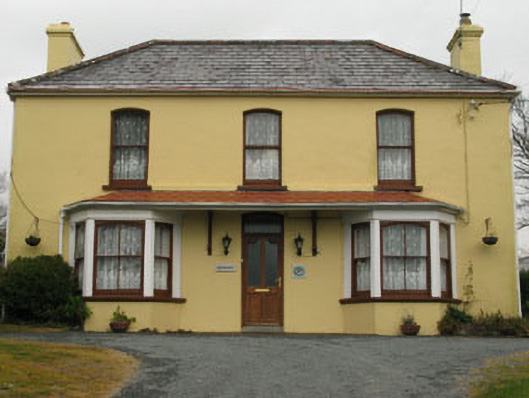 Bridge View Househouse · 291 yd
 Our Lady Star of the Sea Roman Catholic Churchchurch/chapel · 293 yd
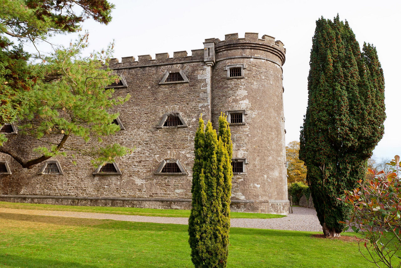 Man-made underground passage in KilcrohaneMan-made underground passage · 563 yd
 Stone RowHeritage attraction · 767 yd
 IndicatedFairy fort / stone ringfort · 992 yd
 Funeral path loopWalking route · 995 yd
 Farranamanagh Loop WalkWalking route · 1011 yd
 Nora DaltonMemorial · 1207 yd
 Finn McCool's SeatViewpoint · 1551 yd
 SeefinMountain / peak · 1.0 mi
 Mass RockMemorial · 1.0 mi
 Caher MountainMountain / peak · 1.6 mi