What is recorded here
Fairy fort / earthen ringfort in Farranshea is a fairy fort or earthen ringfort in Farranshea, County Tipperary, Ireland. It occupies a steep west-facing slope in rough pasture. The circular area measures 32 metres across. An earthen scarp defines the edge, rising higher on the southwest side to compensate for the hill slope.
In rough pasture, on a steep W-facing slope. Circular area (diam. 32m) defined by earthen scarp which is low (Wth 1.25m; H 0.5m) on NE-side and high and steep (Wth 4.5m; H 2.65m) on SW-side where it is raised to compensate for hillslope. External fosse (basal Wth 1.2m; total (Wth 4.2m; D 0.55m) NE-ESE is in-filled SE-S-W-N-NE. Possible causewayed entrance (Wth 4m) at WNW is disturbed by cattle erosion. Irregular, grass covered, pile of earthen material dumped on exterior of scarp at W. Interior ground levels slope down gently (Wth 7.55m; H 1.55m) from top edge of the scarp, being gradual and not bank-like. Enclosure (TS070-021----) located 180m to SSE.
Compiled by: Jean Farrelly
Date of upload: 26 August 2011
The monument record does not grant public access. Check the route and ask the landowner before entering private land.
- What survives
- Recorded monument
Places near here
 Enclosure in FarransheaEnclosure · 436 yd
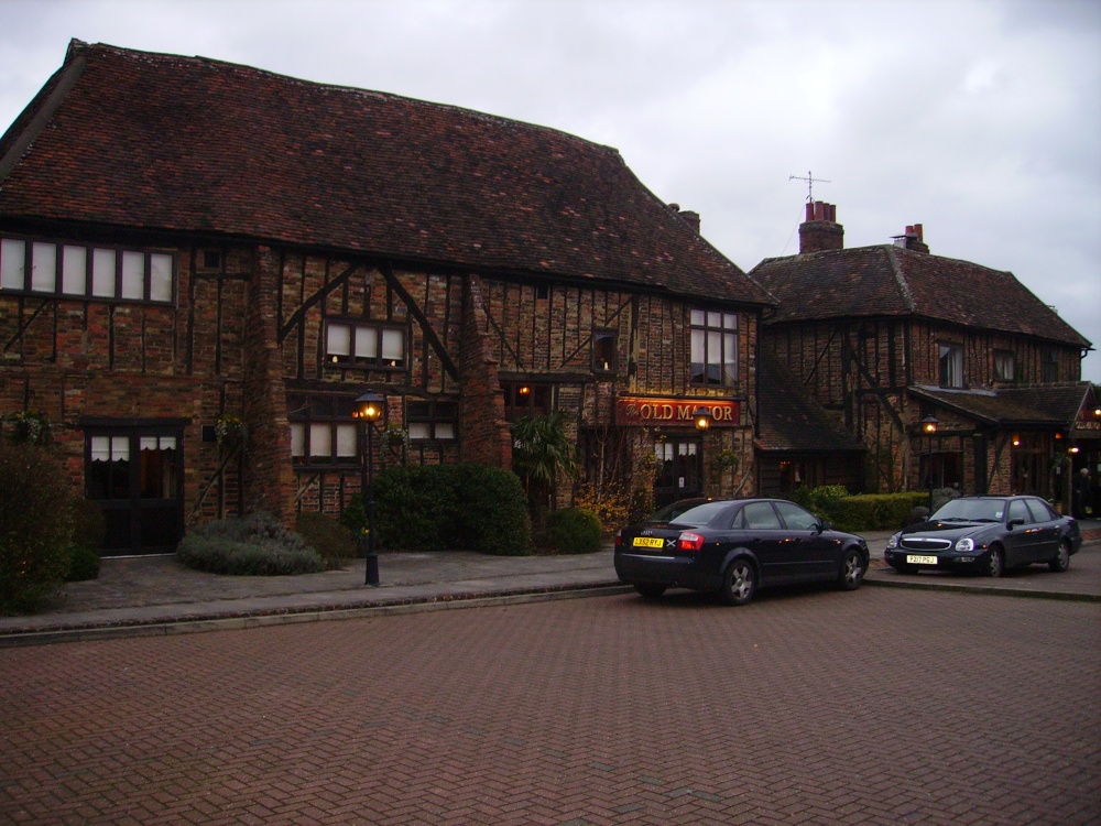 Old Manor Ho. (in ruins)House, 17th century · 506 yd
 Brook Hillhouse · 517 yd
 Enclosure in Saucestown (rathcool Par.)Enclosure · 1044 yd
 Cramp's CastleCastle · 1.0 mi
 Knockkelly CastleCastle · 1.2 mi
 Kilknockan HillMountain / peak · 1.3 mi
 East GateMemorial · 1.6 mi
 European YewEuropean Yew · 1.7 mi
 Pedunculate OakPedunculate Oak · 1.9 mi
 CarrigdotiaMountain / peak · 3.5 mi
 Gobban Saer's GraveArchaeological place · 9.0 mi