
What is recorded here
In pasture, on W-facing slope. Possible enclosure visible as a cropmark on an aerial photograph (GSI S. 653/2, April 1974) and associated with ringfort (TS070-022001-). There is no visible trace at ground level. Ringfort (TS070-021----) located 220m to NW and moated site (TS070-023----) located 230m to SW.
Compiled by: Jean Farrelly
Date of upload: 26 August 2011
This remains an important historical record, but the official description says the monument is no longer visible or has been destroyed. The monument record does not grant public access. Check the route and ask the landowner before entering private land.
- What survives
- No visible remains or recorded as destroyed
Places near here
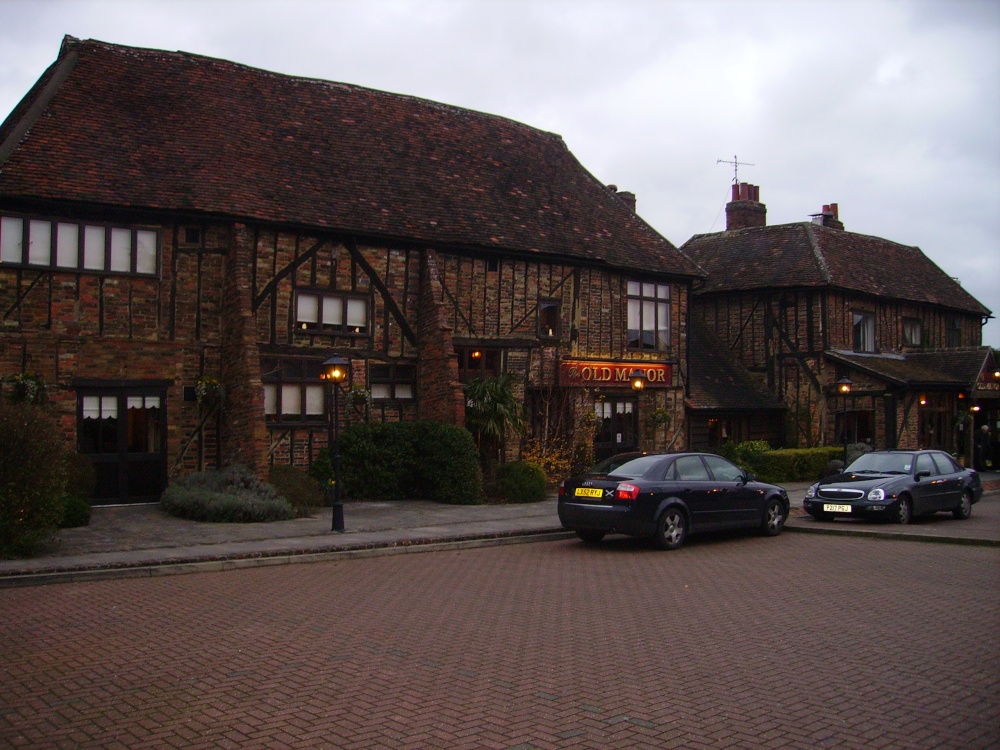 Old Manor Ho. (in ruins)House, 17th century · 652 yd
 Brook Hillhouse · 792 yd
 Enclosure in Saucestown (rathcool Par.)Enclosure · 1410 yd
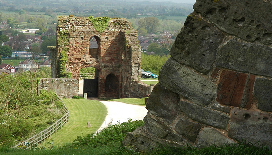 ToberatubarHoly well · 1744 yd
 Cramp's CastleCastle · 1.1 mi
 Ballinard CastleCastle, tower house · 1.3 mi
 Kilknockan HillMountain / peak · 1.5 mi
 East GateMemorial · 1.7 mi
 Pedunculate OakPedunculate Oak · 1.7 mi
 European YewEuropean Yew · 1.8 mi
 CarrigdotiaMountain / peak · 3.3 mi
 Gobban Saer's GraveArchaeological place · 9.2 mi
Other information
Photo: Credit not shown in the picture search · Rights wording not checked; contact us if this picture should be removed