What is recorded here
Fairy fort / earthen ringfort in Farranavarra is a fairy fort or earthen ringfort in Farranavarra, County Tipperary, Ireland. The circular enclosure measured about 75 metres north to south and 65 metres east to west on the first edition six-inch map. A field boundary cut across the middle, but that boundary and the rest of the monument were levelled between 1838 and the mid-1950s. No surface remains are visible now, though a 1977 aerial photograph still shows the large circular shape as a cropmark.
In grassland atop low rise of ground with good views in all directions. Synone Castle (TS053-035001-) 120m to N. No surface remains, all field boundaries indicated on OS 6-inch map have been removed and monument may have been removed when boundaries were being levelled. Monument depicted on first ed. OS 6-inch map as a large circular enclosure (approx. diam. 75m N-S; 65m E-W) with field boundary bisecting the monument on an E-W axis. Partially indicated as a semi-circular enclosure on latest ed. OS 6-inch map. Monument was partially levelled between 1838 and 1953-4 when bisecting field boundary was removed and subsequently the rest of the monument was levelled post 1953-4. Shows up as cropmark of a large circular enclosure on aerial photograph (CUCAP 19 July 1977, BGO 17).
Compiled by: Jean Farrelly
Date of upload: 26 August 2011
The monument record does not grant public access. Check the route and ask the landowner before entering private land.
- What survives
- Recorded monument
Places near here
 Synone CastleCastle · 119 yd
 Church (In Ruins)Church · 911 yd
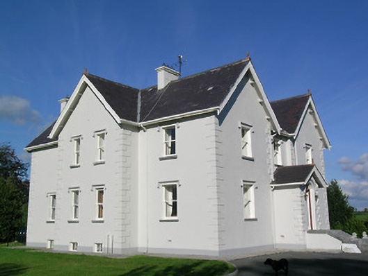 Synone Househouse · 996 yd
 IndicatedFairy fort / earthen ringfort · 1378 yd
 RathancooleenCastle, ringwork · 1.2 mi
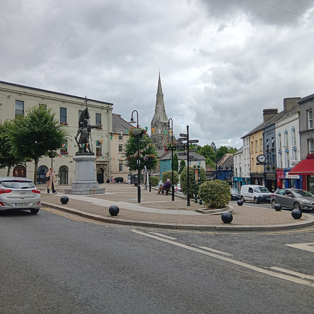 Enclosure in MarshalstownEnclosure · 1.3 mi
 Ballyknock HillMountain / peak · 2.4 mi
 Rock of CashelHeritage attraction · 3.4 mi
 Cormac's ChapelHeritage attraction · 3.4 mi
 The Rock Of CashelVisitor information · 3.4 mi
 Black mulberryBlack mulberry · 3.5 mi
 Clonoulty HillMountain / peak · 4.9 mi