
What is recorded here
In grassland on top of a high rise of ground on SE facing slope with good views in all directions. Overgrown but impressive monument consisting of a raised circular area (int. diam. approx. 40m E-W) enclosed by a high, steep-sided earth and stone bank (base Wth 6m; top Wth 1.8m; ext. H 1-5m; int. H 0.5-1m), fosse (base Wth 2.5m; top Wth 8m; ext. D 1m) and wide flat-topped earth and stone bank (base Wth 7m; top Wth 5m; ext. H 1m; int. H 0.7-1m) with causewayed entrance (Wth 3.5m) at SE. Impressive but overgrown monument making detailed examination impossible. Scooped out interior with gently sloping inner face and steep-sided external face of enclosing bank. Outer face of bank is at its highest at N where it is very defensive and very steep which providing the monument with a very defensive element. The defensive nature of monument would suggest it is a ringwork. Modern road intersects fosse destroying outer bank at E on a N-S axis.
Compiled by: Jean Farrelly
Date of upload: 26 August 2011
The monument record does not grant public access. Check the route and ask the landowner before entering private land.
- What survives
- Recorded monument
Places near here
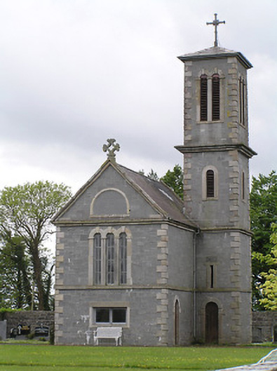 Saint Catherine's Catholic Chapelchurch/chapel · 1299 yd
 Catholic Church of the Immaculate Conceptionchurch/chapel · 1335 yd
 Ardmayle MoatCastle, motte and bailey · 1691 yd
 Castle in RuinsHouse, fortified house · 1725 yd
 Grave YardGraveyard · 1727 yd
 Settlement desertedSettlement deserted, medieval · 1.0 mi
 Ballyknock HillMountain / peak · 2.2 mi
 Rock of CashelHeritage attraction · 2.8 mi
 Cormac's ChapelHeritage attraction · 2.9 mi
 The Rock Of CashelVisitor information · 2.9 mi
 Black mulberryBlack mulberry · 3.0 mi
 European ashEuropean ash · 4.8 mi
Other information
Photo: Credit not shown in the picture search · Rights wording not checked; contact us if this picture should be removed