What is recorded here
On flat grassland with good views in all directions. On the first ed. OS 6-inch map there is a pigeon house located immediately to the N of the possible ringfort. This pigeon house is not indicated on the latest ed. OS 6-inch map and is no longer visible. Barely visible outline of a levelled possible ringfort consisting of a slight rise of ground or degraded bank (top Wth 6m; base Wth 10m; ext. H 0.4m; int. H 0.3m) visible along its E quadrant only on top of which are planted two lime trees, elsewhere the bank is barely visible as a low rise of ground enclosing a circular area (approx. int. diam. 31m N-S; overall diam. 50m N-S). Indicated as a cropmark of a multivallate enclosure on aerial photographs taken in July 1971 (CUCAP BGO 14, 15, S. 593/4). Monument levelled before 1971. It is described by O'Donovan (O'Donovan and Duffy 2002, 36-7) as a ring-barrow (diam. 46m) which 'consists of an externally ditched enclosure defined by a flattened 8m wide bank and an internal ditch that measures 3-4m wide and 0.40m deep. The externally ditched enclosure surrounds a central ring barrow. The ring barrow consists of a low flat mound 8m in diameter surrounded by a 0.30m deep, 2m wide ditch. A level concentric 6m wide platform surrounds the central barrow inside the externally ditched enclosure. A possible 5m wide entrance feature is located in the northeast corner of the outer enclosure. Two large trees are present on the northern external bank. The bank survives to a greater level at this point, indicating that the monument has been considerably denuded; however, it is still clearly visible on the ground'.
On flat grassland with good views in all directions. On the first ed. OS 6-inch map there is a pigeon house located immediately to the N of the possible ringfort. This pigeon house is not indicated on the latest ed. OS 6-inch map and is no longer visible. Barely visible outline of a levelled possible ringfort consisting of a slight rise of ground or degraded bank (top Wth 6m; base Wth 10m; ext. H 0.4m; int. H…
From the National Monuments Service (Archaeological Survey of Ireland) record TS053-062
The monument record does not grant public access. Check the route and ask the landowner before entering private land.
- What survives
- Recorded monument
Places near here
Photo credits
- Mike Searle, Wikimedia Commons · CC BY-SA 2.0
- National Inventory of Architectural Heritage
- Liam Hughes from Milwaukee, WI, USA, Wikimedia Commons · CC BY 2.0
- Steven Brown, Geograph · Creative Commons Attribution-ShareAlike 2.0
- N Chadwick, Geograph · CC BY-SA 2.0
- Neil Theasby, Geograph · CC BY-SA 2.0
- Maker named on the Wikimedia Commons picture page · Public domain
Enclosure in MarshalstownEnclosure · 959 yd Synone CastleCastle · 1492 ydSynone HouseHouse · 1.3 miBallyowen HouseCountry house · 1.5 miBallyknock HillMountain / peak · 1.8 miCastle in RuinsCastle, tower house · 2.5 miGrave YardGraveyard · 2.5 miRock of CashelHeritage attraction · 3.0 miCormac's ChapelHeritage attraction · 3.0 miThe Rock Of CashelVisitor information · 3.0 miBlack mulberry3.1 miBlack mulberry3.1 mi
 Synone CastleCastle · 1492 yd
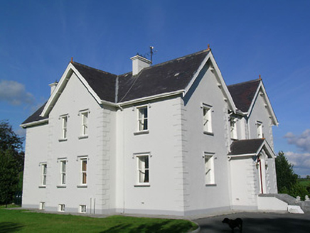 Synone HouseHouse · 1.3 mi
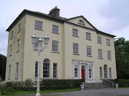 Ballyowen HouseCountry house · 1.5 miBallyknock HillMountain / peak · 1.8 mi
 Castle in RuinsCastle, tower house · 2.5 mi
 Grave YardGraveyard · 2.5 mi
 Rock of CashelHeritage attraction · 3.0 mi
 Cormac's ChapelHeritage attraction · 3.0 mi
 The Rock Of CashelVisitor information · 3.0 mi
 Black mulberry3.1 miBlack mulberry3.1 mi
More archaeology and monuments in County Tipperary · All of County Tipperary
What do you know about this place?