
What is recorded here
On the summit of a hill in pasture. The townland boundary runs roughly N-S 10m to the W of the monument. The monument has been ploughed over but survives as a raised circular area (Diam. 24.8m N-S; 24.6m E-W) defined by scarp (H 0.42m). The E sector is particularly degraded making the scarped edge difficult to discern. There is some cattle poaching in the S quadrant and a small area of quarrying into the scarp at the SSW. The 1906 OS 6-inch map depicts the monument as a sub-oval area with the townland boundary, running NE-SW along the edge of the W sector.
Compiled by: Jean Farrelly
Date of upload: 26 August 2011
The monument record does not grant public access. Check the route and ask the landowner before entering private land.
- What survives
- Recorded monument
Places near here
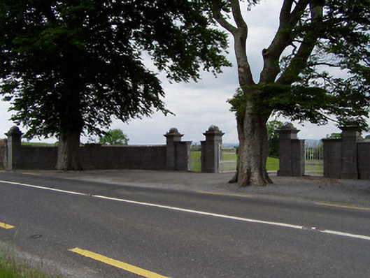 Rock Viewdemesne walls/gates/railings · 777 yd
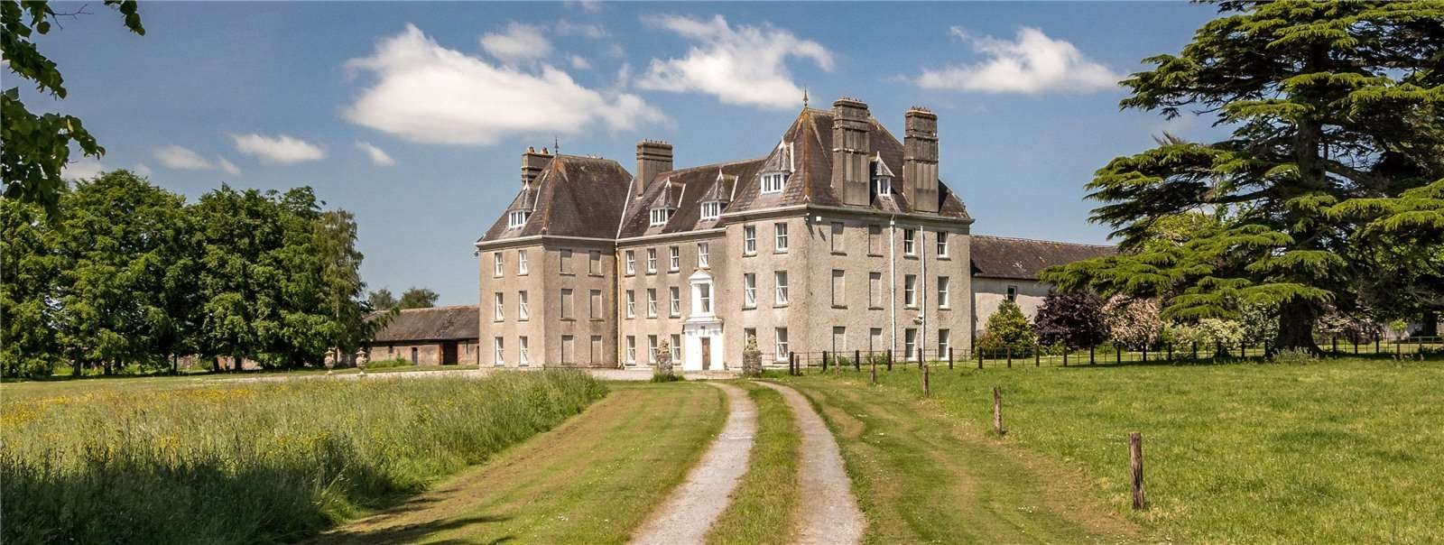 Structure in Garraun (st. Patricksrock Par.),shanballyduff (dangandargan Par.)Structure · 1241 yd
 Enclosure in Shanballyduff (dangandargan Par.),garraun (st. Patricksrock Par.)Enclosure · 1290 yd
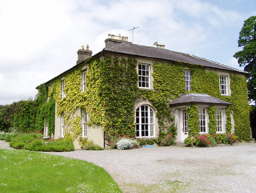 Ballinamona Househouse · 1550 yd
 Site of CastleCastle, unclassified · 1593 yd
 Ballynahinch Castle (in ruins)Castle, tower house · 1.2 mi
 Hore AbbeyHeritage attraction · 2.2 mi
 Athassel PrioryHeritage attraction · 2.3 mi
 Dundrum Woods (Marl Bog)Forest · 6.1 mi
 European ashEuropean ash · 6.8 mi
 I.R.A. 3rd. Tipperary Brigade MemorialMemorial · 8.7 mi
 SturrakeenMountain / peak · 9.0 mi
Other information
Photo: Credit not shown in the picture search · Rights wording not checked; contact us if this picture should be removed