What is recorded here
Mud, stone and memory still hold the shape of a living room on that hill. People may have circled the bank, watched the valley or waited for weather while believing the fort belonged to unseen neighbours. The fairies may have returned only when human tools stopped breaking the quiet.
A short distance to the NW of the highest point of a prominent hill, affording panoramic views over the surrounding countryside. A raised oval area (64.7m NW-SE; 44.1m NE-SW) enclosed by a substantial bank of earth and stone (Wth 8.2m; H 0.7-1.4m) with a deep external fosse (Wth 3.1m; D 1.5m). The outer face of the bank has been steepened and faced with drystone masonry in relatively modern times. From NW-N-ENE there is a garden at the external base of the bank and the fosse has been infilled. A report in 1975 (SMR file) suggested that the original entrance may have been at NW but this is no longer identifiable. Cultivation ridges are evident in the interior.
Compiled by: Patrick F. O'Donovan
Date of upload: 11 January 2012
The monument record does not grant public access. Check the route and ask the landowner before entering private land.
- What survives
- Recorded monument
Places near here
 BarrowBarrow, unclassified · 474 yd
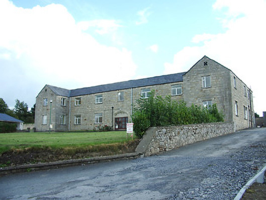 Longford Regional Hospitalhospital/infirmary · 840 yd
 Church in AghafadChurch · 1026 yd
 First World War MemorialMemorial · 1593 yd
 Saint Mel's CathedralCathedral · 1643 yd
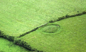 Fairy fort / earthen ringfort in ArdnacassaghFairy fort / earthen ringfort · 1.0 mi
 Bawn in AbbeycartronBawn · 1.3 mi
 Graveyard in Curry (ardagh By., Coolamber Ed)Graveyard · 2.4 mi
 CastleCastle, Anglo-Norman masonry castle · 2.7 mi
 Commons North WalkVisitor information · 9.0 mi
 Wild birdsVisitor information · 9.2 mi
 White Sand WoodWood · 9.4 mi