What is recorded here
Half-buried in grass on a drumlin in Uragh, the stone ringfort keeps its circle though time has forgotten its door. Locals still whisper about a hidden tunnel beneath the mound, as if the earth swallowed the entrance rather than losing it. People may have lived there, feared there, or played there before memory thinned; the stones do not argue either way.
On top of a drumlin. This is an overgrown circular area (int. diam. 27m N-S) defined by an overgrown and grass-covered stone spread (Wth 4 5m; H 0.15m). The original entrance is not identified, but there is a local tradition of a tunnel, possibly a Man-made underground passage, in the interior.
The above description is derived from 'The Archaeological Inventory of County Leitrim' compiled by Michael J. Moore (Dublin: Stationery Office, 2003). In certain instances the entries have been revised and updated in the light of recent research.
Date of upload: 23 September 2008
The monument record does not grant public access. Check the route and ask the landowner before entering private land.
- What survives
- Recorded monument
Places near here
 Mass-rock in UraghMass-rock · 328 yd
 IndicatedFairy fort / stone ringfort · 912 yd
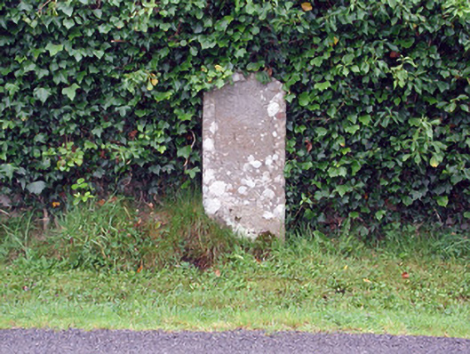 milestone/milepostmilestone/milepost · 1.7 mi
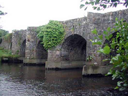 Mary's Bridgebridge · 1.9 mi
 Bawn in DuncarbryBawn · 2.2 mi
 Giant's GraveArchaeological place · 2.3 mi
 Cormac Reagh's HoleCave · 2.4 mi
 TievebaunMountain / peak · 2.7 mi
 Bundrowes Castle (Site of)Castle, unclassified · 2.7 mi
 Eagle's RockMountain / peak · 3.5 mi
 Gleniff Horseshoe Drive 2Viewpoint · 3.5 mi
 Arroo MountainMountain / peak · 3.5 mi