What is recorded here
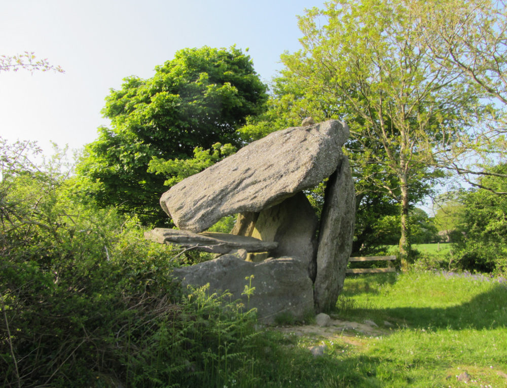
Two conjoined cashels stand in a vast old field in Tullycommon, their eastern chamber marked by a broad stone spread and a drystone wall rising from southwest to east. The entrance faces southeast, guarded by two slabs laid across the line like a threshold between the ordinary field and whatever memory the stones keep. People may have lived there, herded animals, or simply traced the circle before leaving. The fort holds no name but shape, and shape is often enough to remember.
Situated at the bottom of a gentle N-facing slope on grass-covered karst and within a very large field system (CL010-064001-). The eastern of two conjoined circular enclosures (see also CL010-064085-, and hut site CL010-064086-) with a number of irregular related fields adjoining to the N. A circular area (int. dims. 17.6m N-S; 18.8m E-W) defined by a stone spread (H. 0.3-0.6m; Wth 2.4m at N to 3.9m at W). A drystone wall is built on top of the stone spread from SW to ENE. From there it extends ENE on top of an old field wall of similar construction to the cashel wall. An entrance feature at ESE (Wth1-1.1m) consists of two slabs laid across the line of the wall.
Compiled by: Mary Tunney
Date of upload: 22 March 2016
The monument record does not grant public access. Check the route and ask the landowner before entering private land.
- What survives
- Recorded monument
Places near here
 Enclosure in TullycommonEnclosure · 380 yd
 MohernaglasEnclosure · 625 yd
 Castle in ruinsCastle, tower house · 1472 yd
 Correen R.C. Chapel (in ruins)Church · 1.4 mi
 Father Ted's HouseHeritage attraction · 1.4 mi
 Glenquin Housefarm house · 1.4 mi
 Burren National ParkVisitor information · 1.7 mi
 Castle (in ruins)Castle, unclassified · 1.7 mi
 Farbrega RockNamed rock · 2.0 mi
 Fergus River CaveCave · 3.5 mi
 PoulnabroneMemorial · 3.5 mi
 Poulnabrone - Burren GeositeVisitor information · 3.9 mi