What is recorded here
Fairy fort / stone ringfort in Rathdiveen,pollower is a fairy fort or stone ringfort in Rathdiveen,pollower, County Roscommon, Ireland. The subcircular grass-covered area measures 26.5m east-west and 25m north-south on the north-facing slope of a ridge. A grass-covered stone spread and scarp define its boundary, while a field wall and townland boundary with Rathdiveen cross just north of the centre. Cashel lies approximately 200m to the west-southwest.
On the N-facing slope of a ridge. Subcircular grass-covered area (dims 26.5m E-W; 25m N-S) defined by a grass-covered stone spread (Wth 2.2m at S to 4.2m at E; int. H 0.1-0.35m; ext. H 0.25-0.5m) E-NW and a scarp (H 1-1.1m) elsewhere. A WNW-ESE field wall and townland boundary with Rathdiveen overlies the site just N of the centre. Cashel (RO006-131003-) is c. 200m to the WSW.
Compiled by: Michael Moore
Date of upload: 24 August 2010
The monument record does not grant public access. Check the route and ask the landowner before entering private land.
- What survives
- Recorded monument
Places near here
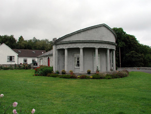 Rockingham Housegate lodge · 726 yd
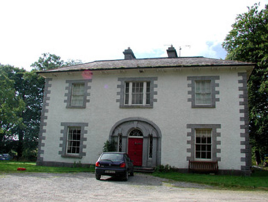 Carrigard Househouse · 838 yd
 Enclosure in Keeloges (boyle By.)Enclosure · 978 yd
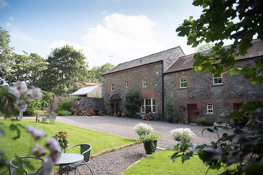 Enclosure in CarrickmoreEnclosure · 1228 yd
 Lough Key Forest ParkWood · 1.0 mi
 Erris BayBay · 1.4 mi
 Horse-chestnutHorse-chestnut · 1.4 mi
 Western RedcedarWestern Redcedar · 1.5 mi
 Longford HillMountain / peak · 1.6 mi
 Trinity IslandIslet · 1.7 mi
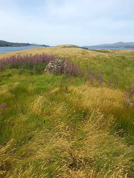 Drummans IslandIsland · 1.8 mi
 Moylung Castle (in ruins)Castle, unclassified · 1.9 mi