What is recorded here
Killymasny holds a broken oval cashel where collapsed stones and thick growth hide the true wall line. The north side rises four metres above rough pasture while the south drops away on the hill slope, creating a small uneven chamber marked Cashel on old maps. It may be a human fort or a natural mound dressed by people, but the answer has vanished under debris and time.
Internal diam. 13m E-W, 7.5m N-S. A mound of stones marked 'Cashel' on the 3rd edi-tion of the OS 6-inch map. It is possibly partly natural but this is obscured by stone collapse and overgrowth. The N side rises 4m to the the top but the S side is lower due to the slope of the hill. The top is an oval uneven space enclosed by a low rim .5m to 1m in height, because of the collapse it is difficult to discern specific wall facings. It is is situated on a belt of rough pasture between two bands of bog on a N-facing slope. Running up to the site are a series of disused large stone field boundaries and nearby a subcircular large stone-walled field. It is not possible to say definitely, but these could be early features.
The above description was derived from the 'Archaeological Survey of County Donegal. A description of the field antiquities of the County from the Mesolithic Period to the 17th century.' Compiled by: Brian Lacey with Eamon Cody, Claire Cotter, Judy Cuppage, Noel Dunne, Vincent Hurley, Celie O'Rahilly, Paul Walsh and Seán Ó Nualláin (Lifford: Donegal County Council, 1983). In certain instances the entries have been revised and updated.
Date of upload: 22 September 2008
The monument record does not grant public access. Check the route and ask the landowner before entering private land.
- What survives
- Recorded monument
Places near here
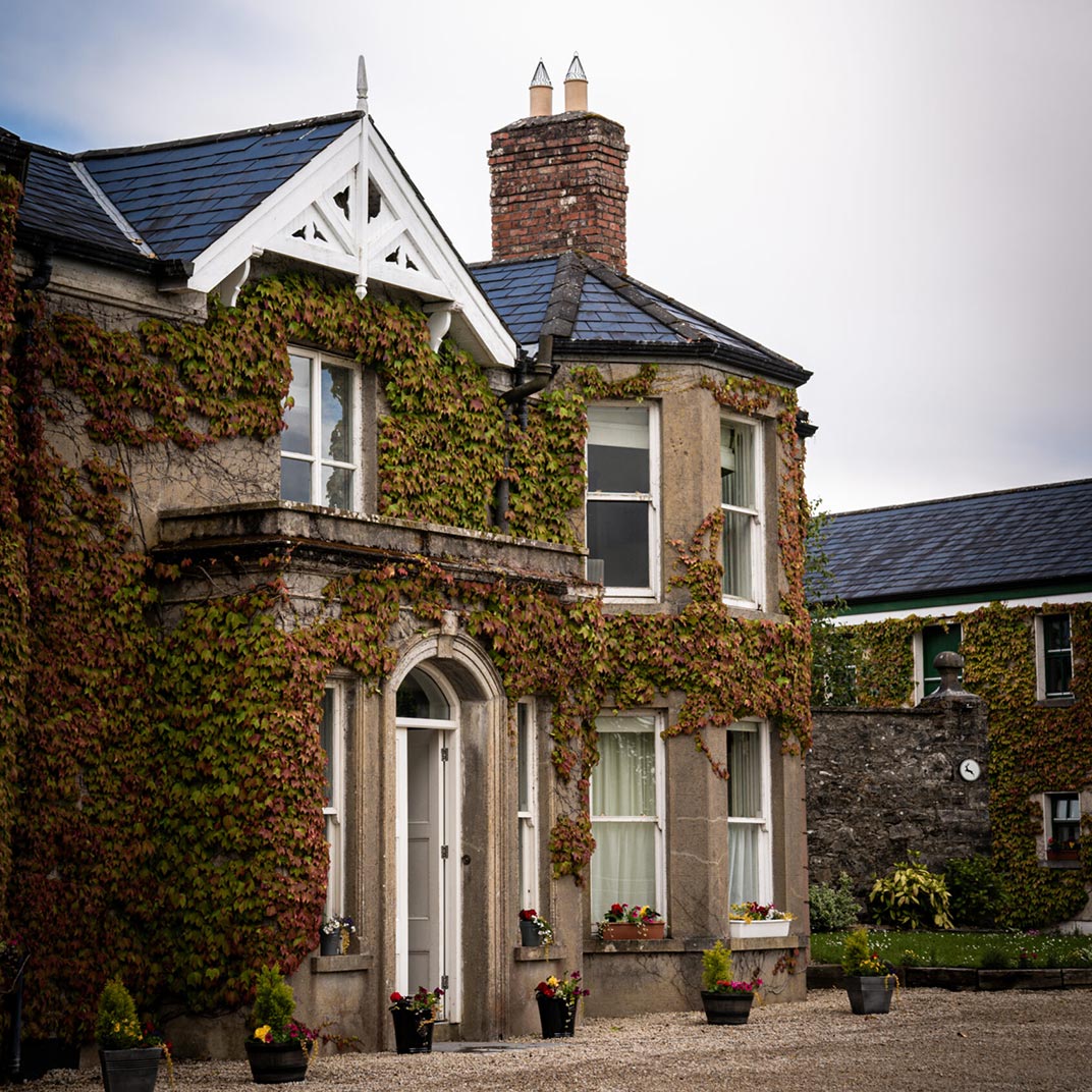 Ballygawley Stone RingfortFairy fort / stone ringfort · 729 yd
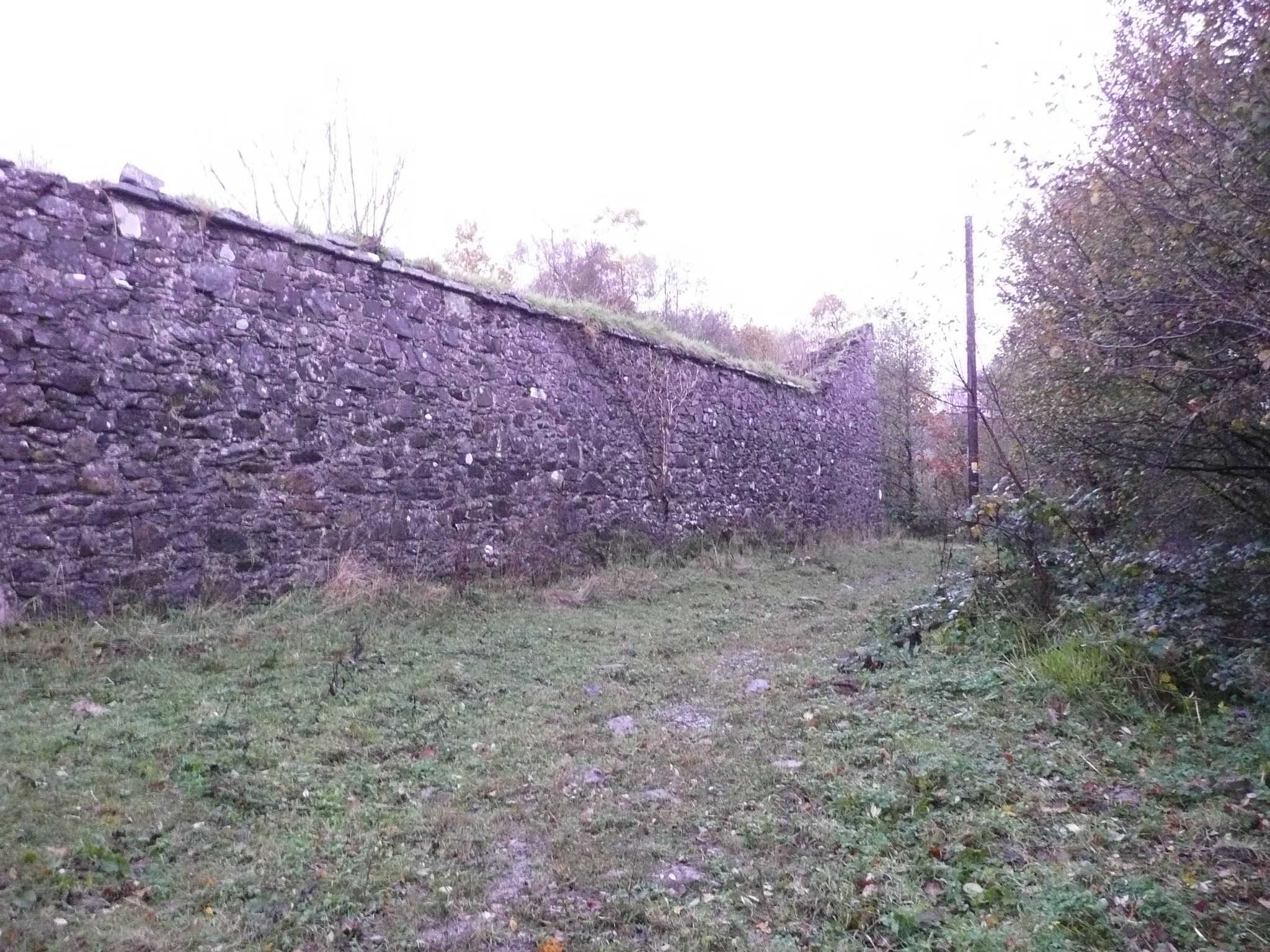 Fox Hallwalled garden · 1375 yd
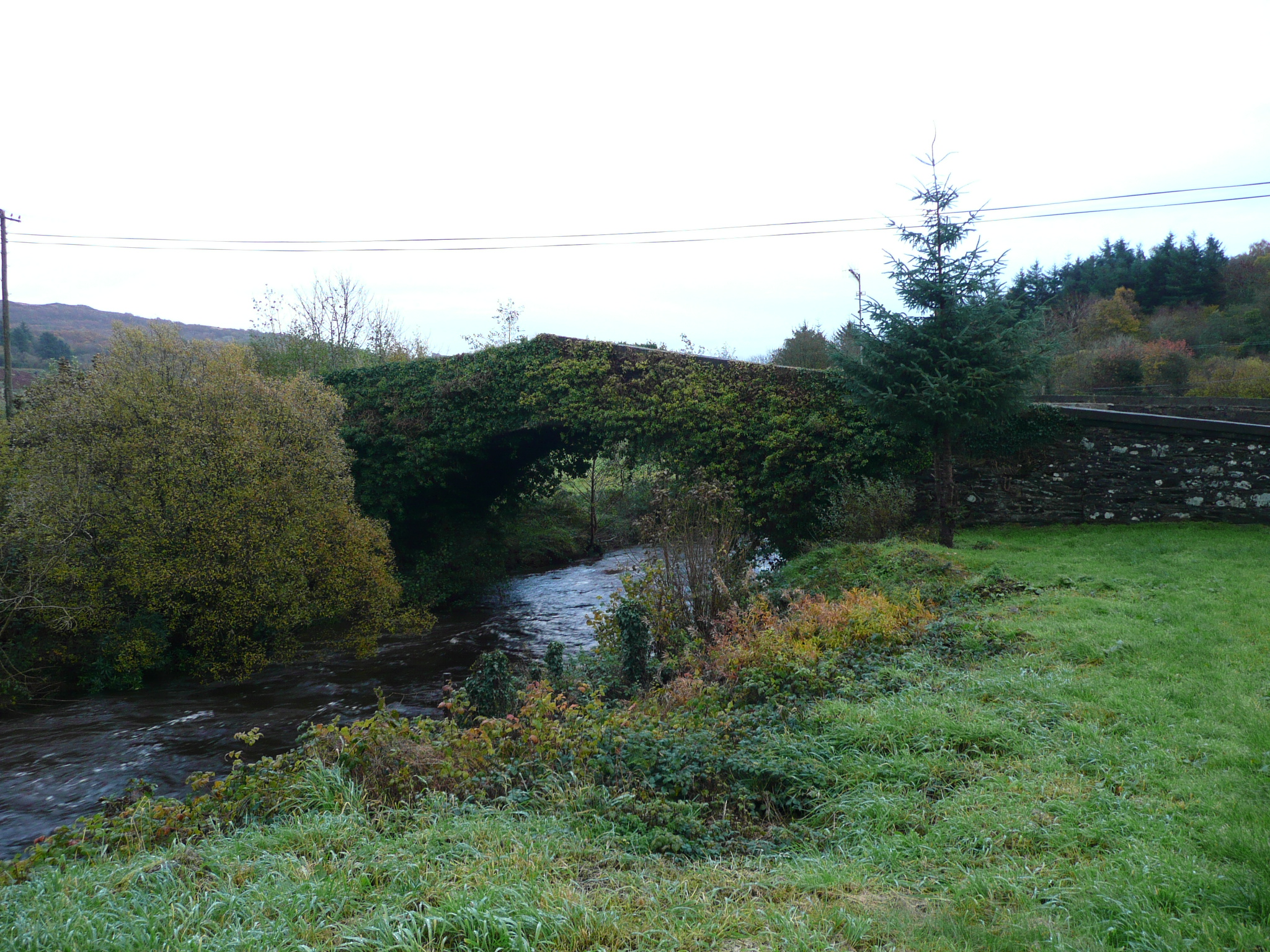 Rashedoge Bridgebridge · 1560 yd
 Doon Glebe Stone Ringfort and Mural PassageFairy fort / stone ringfort · 1.3 mi
 Newmills Corn and Flax MillsHeritage attraction · 2.0 mi
 Battle of Scarrifholisbattle · 2.3 mi
 Site of Castle SollusCastle, unclassified · 2.3 mi
 Gregory HillMountain / peak · 2.5 mi
 Stackarnagh Abbey GraveyardGraveyard · 2.6 mi
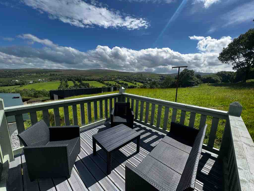 Church Hill ForestForest recreation place · 4.5 mi
 Three TopsMountain / peak · 4.8 mi
 Bawn in LetterkennyBawn · 4.9 mi