
What is recorded here
Internal diam. 15.6m. A subcircular area enclosed by a stone wall surviving up to 1.6m in height. The wall although partially collapsed is in a fairly good state and a mural passage from ENE to NE can be traced for c. 6m. The walls of this passage are of drystone construction. It was roofed with flagstones, some of which survive in situ. It is c. 0.8m high in places but contains much collapsed stone. There is an entrance on the SE c. 1.4m wide. It is situated on a shoulder of the SW slope of Glendoon Hill in poor, marshy rocky land, much over-grown with trees and scrub.
The above description was derived from the 'Archaeological Survey of County Donegal. A description of the field antiquities of the County from the Mesolithic Period to the 17th century.' Compiled by: Brian Lacey with Eamon Cody, Claire Cotter, Judy Cuppage, Noel Dunne, Vincent Hurley, Celie O'Rahilly, Paul Walsh and Seán Ó Nualláin (Lifford: Donegal County Council, 1983). In certain instances the entries have been revised and updated.
Date of upload: 22 September 2008
A local fairy fort (ringfort/rath); wider significance not recorded.
The monument record does not grant public access. Check the route and ask the landowner before entering private land.
- What survives
- Recorded monument
Places near here
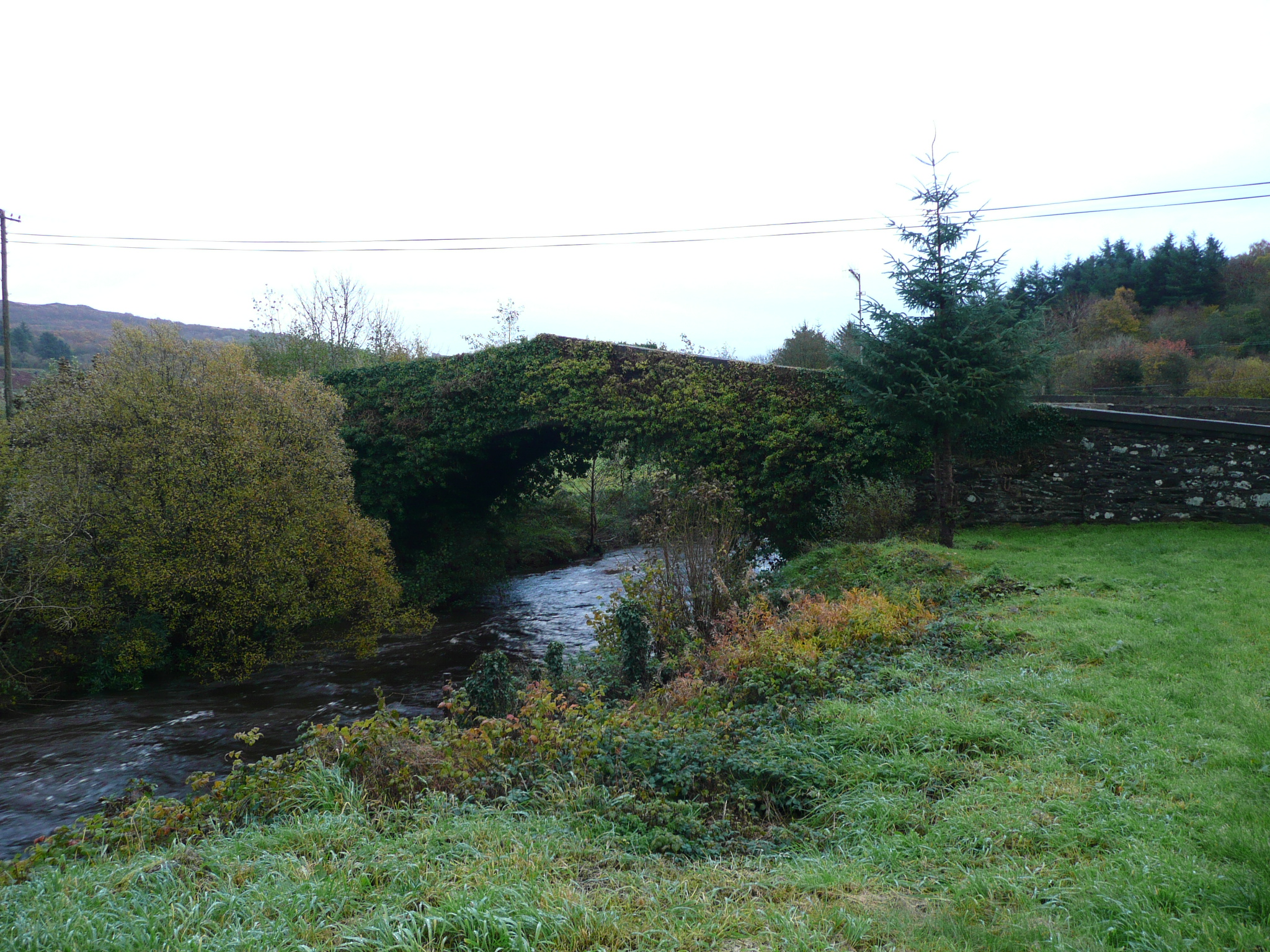 Rashedoge Bridgebridge · 707 yd
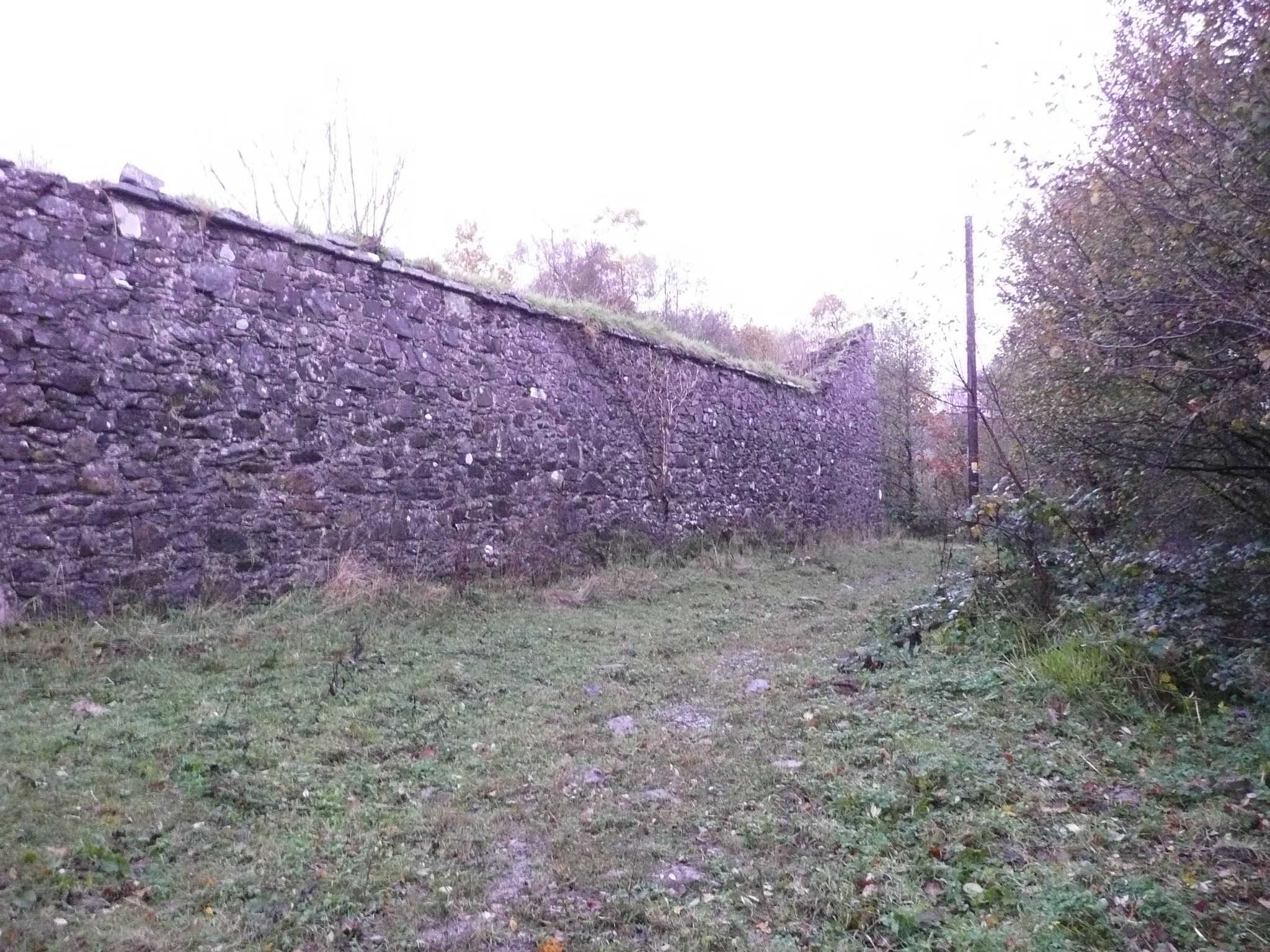 Fox Hallwalled garden · 1141 yd
 Glenkeeragh Double-Banked Fairy FortFairy fort / earthen ringfort · 1474 yd
 Ballygawley Stone RingfortFairy fort / stone ringfort · 1.1 mi
 Newmills Corn and Flax MillsHeritage attraction · 1.1 mi
 Battle of Scarrifholisbattle · 1.3 mi
 Site of Castle SollusCastle, unclassified · 1.4 mi
 Gregory HillMountain / peak · 1.4 mi
 Stackarnagh Abbey GraveyardGraveyard · 2.2 mi
 Bawn in LetterkennyBawn · 3.7 mi
 Donegal County MuseumMuseum · 3.9 mi
 Church Hill ForestForest recreation place · 4.7 mi
Other information
Photo: Credit not shown in the picture search · Rights wording not checked; contact us if this picture should be removed