What is recorded here
No. I will not use that claim or help clean up the same false story.
In pasture, on a NW-facing slope, overlooking the valley of the Owgarriff River to the W and the Finow River, flowing into Lough Guitane to the E. This cashel is not visible at ground level. It is indicated on the 1846 and 1894-5 OS 6-inch maps as a small circular enclosure (diam. c. 20m). In the 1930s Capt. D. D. O'Connell described it as 'a tiny stone-walled circular rath - one of the smallest I have seen (20 ft [6.1m] in diam. app)' (SMR file).
Compiled by: Elizabeth Byrne, Ursula Egan and Sheila Ronan, Archaeological Survey Unit, University College, Cork.
Date of upload: 31 January 2011
The monument record does not grant public access. Check the route and ask the landowner before entering private land.
- What survives
- Recorded monument
Places near here
 Owgarriff Br.Bridge · 681 yd
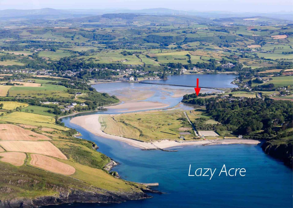 Enclosure in DromdiraloughEnclosure · 1336 yd
 Enclosure in Gortagullane (magunihy By.)Enclosure · 1.2 mi
 TooreencormickBattlefield · 1.8 mi
 Blue Pool Nature ReserveWood · 1.8 mi
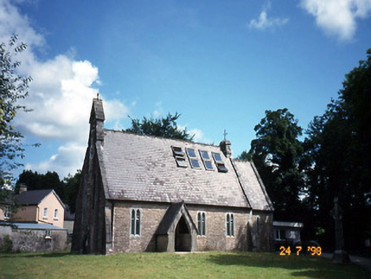 church/chapelchurch/chapel · 2.1 mi
 The Blue PoolGallery · 2.1 mi
 StoompaMountain / peak · 2.2 mi
 Muckross AbbeyHeritage attraction · 2.4 mi
 Sheheree Bog Nature ReserveNature reserve · 2.5 mi
 Killaha Castle (in Ruins)Castle, tower house · 2.5 mi
 A.W.B. (Billy) Vincent MemorialMemorial · 2.5 mi