
What is recorded here
In flat poorly drained bog, c. 45m N of a road. A circular enclosure (diam. c. 30m) is visible in aerial photographs (GSIAP, V 1; W 19) taken in 1973. It is not visible at ground level. A large depression, c. 35m to the NW, appears to be a limestone quarry.
Compiled by: Elizabeth Byrne, Ursula Egan and Sheila Ronan, Archaeological Survey Unit, University College, Cork.
Date of upload: 31 January 2011
The monument record does not grant public access. Check the route and ask the landowner before entering private land.
- What survives
- Recorded monument
Places near here
 IndicatedHut site · 599 yd
 Blue Pool Nature ReserveWood · 1125 yd
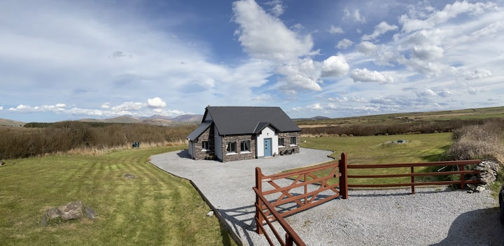 Hut site in DromickbaneHut site · 1146 yd
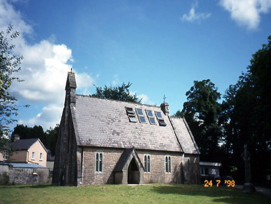 church/chapelchurch/chapel · 1572 yd
 The Blue PoolGallery · 1600 yd
 Owgarriff Br.Bridge · 1628 yd
 Muckross AbbeyHeritage attraction · 1.2 mi
 European YewEuropean Yew · 1.2 mi
 A.W.B. (Billy) Vincent MemorialMemorial · 1.5 mi
 Osprey RockIsland · 1.5 mi
 TooreencormickBattlefield · 1.6 mi
 McCarthy Mor CastleCastle · 1.7 mi
Other information
Photo: Credit not shown in the picture search · Rights wording not checked; contact us if this picture should be removed