
What is recorded here
A humpback road bridge (Wth 5.55m ; long axis NE-SW) spanning the Owgarriff River. It is built of random rubble sandstone and has three segmental arches, the central being the largest (span 4.82m), with roughly shaped voussoirs. Two low pointed cutwaters, of stone with concrete reinforcement, have been added to the upstream side of the piers. There is a recently built causeway to the W bank of the river on the S side of the bridge.
Compiled by: Elizabeth Byrne, Ursula Egan and Sheila Ronan, Archaeological Survey Unit, University College, Cork.
Date of upload: 31 January 2011
The monument record does not grant public access. Check the route and ask the landowner before entering private land.
- What survives
- Recorded monument
Places near here
 Hut site in DromickbaneHut site · 1517 yd
 Enclosure in DromdiraloughEnclosure · 1540 yd
 Blue Pool Nature ReserveWood · 1.6 mi
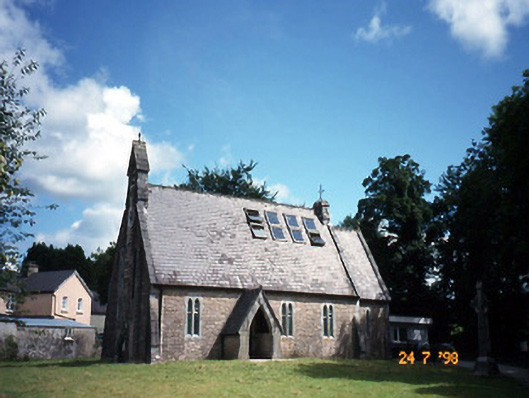 church/chapelchurch/chapel · 1.8 mi
 The Blue PoolGallery · 1.8 mi
 TooreencormickBattlefield · 1.9 mi
 Religious houseReligious house, Franciscan friars · 2.0 mi
 Muckross AbbeyHeritage attraction · 2.1 mi
 Sheheree Bog Nature ReserveNature reserve · 2.1 mi
 A.W.B. (Billy) Vincent MemorialMemorial · 2.3 mi
 Osprey RockIsland · 2.5 mi
 Killaha Castle (in Ruins)Castle, tower house · 2.6 mi
Other information
Photo: Credit not shown in the picture search · Rights wording not checked; contact us if this picture should be removed