What is recorded here
Doonmacfelim holds a circular cashel nearly eighteen metres wide, its stone wall partly swallowed by grass in a low karst landscape. The field system around it has shifted and settled for centuries, yet the ring remains distinct enough to identify from above. People may have lived inside, feared the fairies said to occupy such forts, or simply avoided disturbing what the land already protected.
In a lowlying grass-covered karst landscape within an extensive field system (CL008-109001-). A circular cashel (diam. c. 17.5m) is visible on Digital Globe (2011-2013) and on OSi MapGenie (2013-2018) defined by a partially grassed-over stone wall.
Compiled by: Mary Tunney
Date of upload: 26 April 2023
The monument record does not grant public access. Check the route and ask the landowner before entering private land.
- What survives
- Recorded monument
Places near here
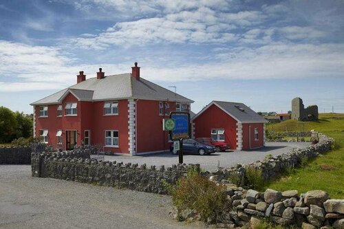 Enclosure in DoonmacfelimEnclosure · 267 yd
 Enclosure in BallaghalineEnclosure · 352 yd
 Church in BallaghalineChurch · 424 yd
 Doolin FerriesHeritage attraction · 612 yd
 Wild Atlantic Way: Doolin PierVisitor information · 617 yd
 Doolin PointHeadland · 763 yd
 Ballaghaline PointHeadland · 892 yd
 Doonmacfelim Castle (in Ruins)Castle, tower house · 1090 yd
 Crab IslandIslet · 1093 yd
 bridgebridge · 1186 yd
 Fisherstreet PotCave · 1450 yd
 Doonagore Castle in ruinsCastle, tower house · 1.1 mi